Winter Storms Are Being Blocked Before They Reach California
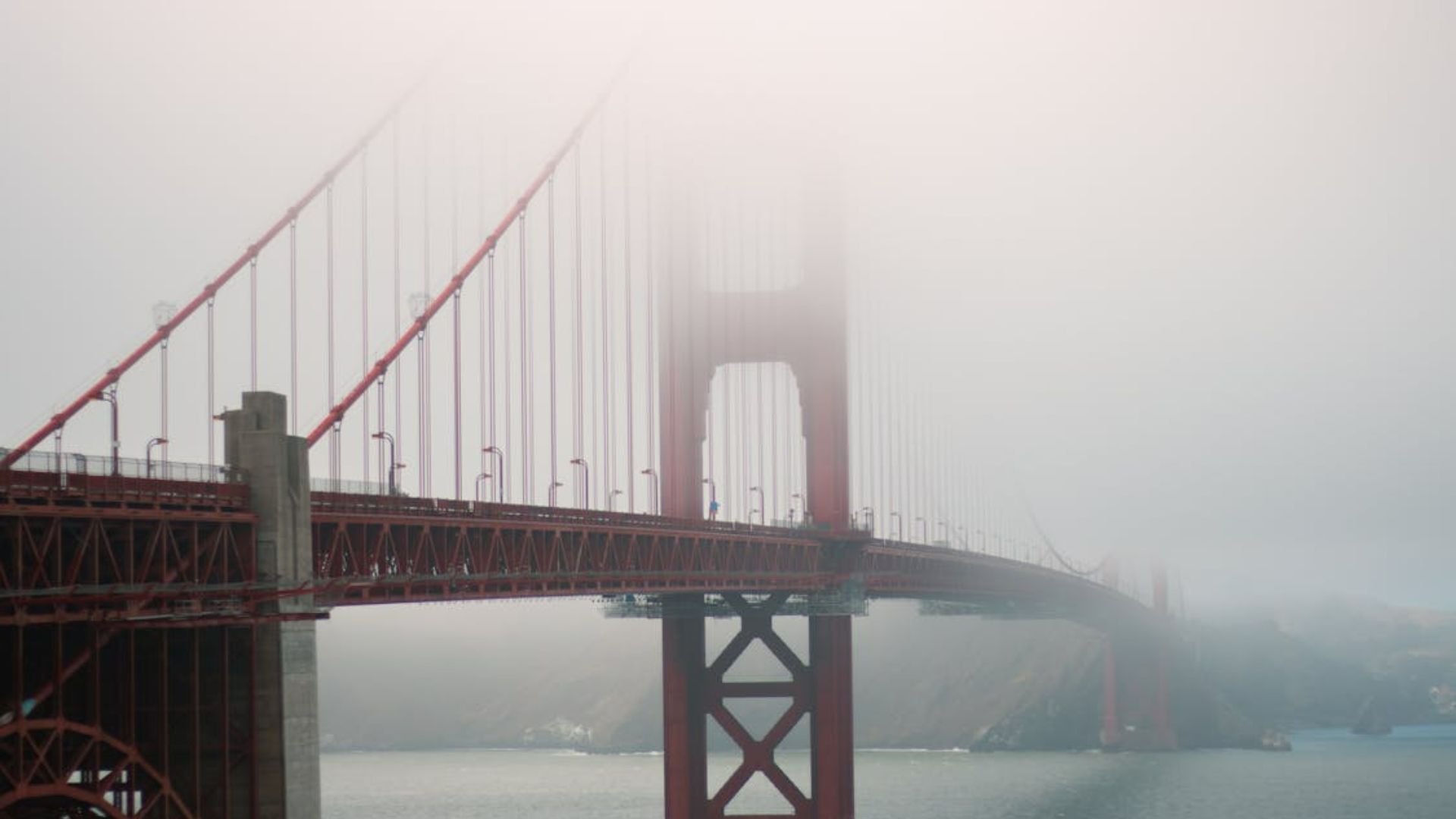
December typically brings San Francisco its heaviest rainfall of the year, but 2025 is shaping up differently. California faces a grim precipitation outlook through the end of the year. A massive high-pressure system positioned in the northeastern Pacific Ocean, just off the West Coast, will dominate early December conditions. A stratospheric disruption combined with La Niña’s influence on the jet stream will redirect storms away from the region for at least the first two weeks of December, keeping northern California particularly dry.
High Pressure Creates a Barrier Off the Coast
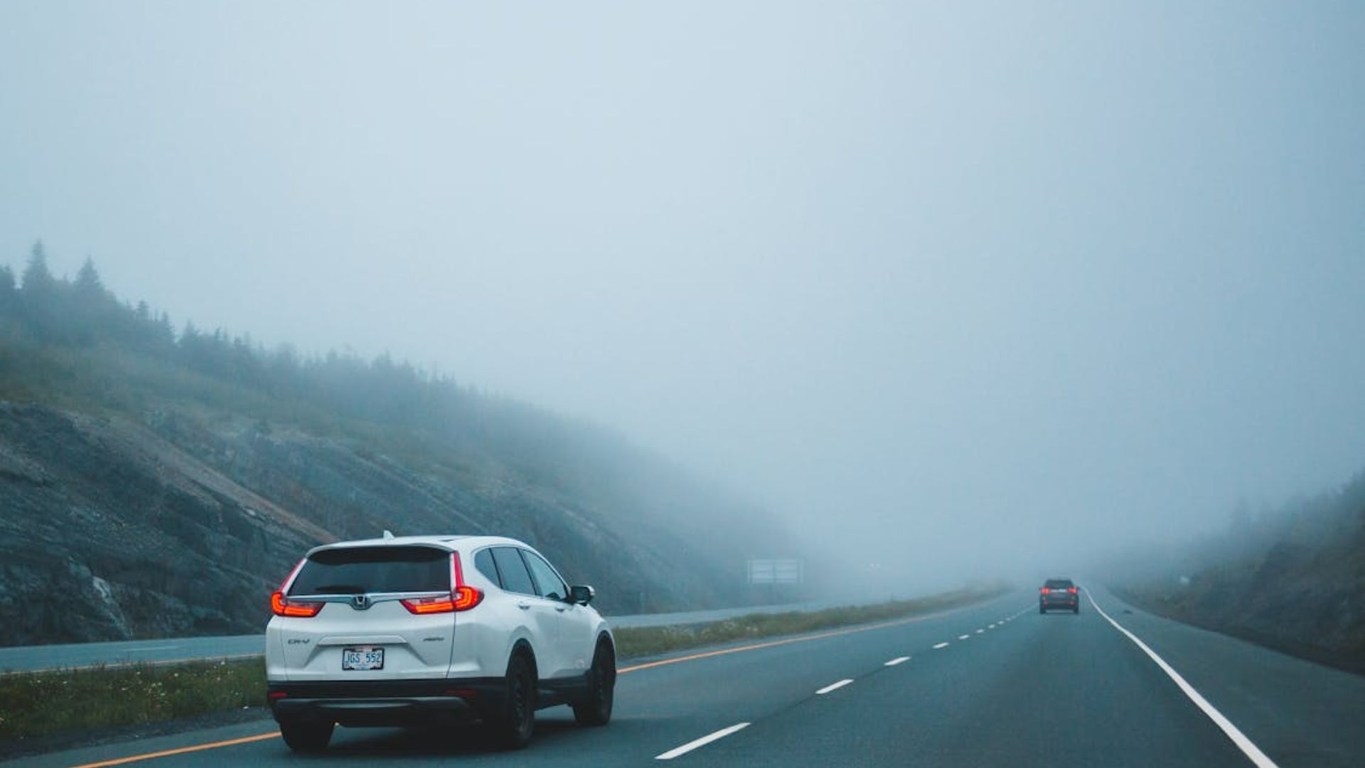
The clockwise-rotating high-pressure zone will block Pacific storms from reaching the West Coast, pushing them north into Canada before they drop southward over inland areas. Meteorologists call these systems “inside sliders” because they travel north-to-south east of the Sierra Nevada. These storms produce minimal rain or snow due to their path over land rather than the ocean. High-pressure systems create clear skies and calm conditions in the areas beneath them, effectively forming a barrier along California’s coast.
Northern California Faces an 80% Chance of Staying Dry
San Francisco has an 80% probability of receiving less than one inch of rain during the first 12 days of December, with a 40% chance of no precipitation at all, according to the European Center for Medium-Range Weather Forecasts. The northern half of the state will likely experience drier-than-normal conditions through mid-month. Southern California’s outlook is slightly more favorable for precipitation, though the region faces uncertainty from an unpredictable storm track that could shift direction at any moment.
One Storm System Could Bring Rain to Southern California

An inside slider may produce flurries in Tahoe on Wednesday, Dec. 3, though rain is unlikely west of the Sierra crest. Occasionally, these systems disconnect from the jet stream near the Southern California Bight and absorb enough Pacific Ocean moisture to deliver rain to Los Angeles and San Diego. This type of storm, called a cutoff low-pressure system, could develop Thursday through Saturday, Dec. 4-6. However, if the system tracks slightly farther east, the entire state will remain dry.
Temperature Inversions Will Keep Valleys Cold and Mountains Warm

Temperature inversions will continue, creating conditions where Lake Tahoe experiences warmer temperatures than Sacramento as the valley stays covered in tule fog. The high-pressure system near the coast will maintain cloud-free skies across most of the state. Winter’s clear skies typically produce warmer-than-normal daytime temperatures and cooler-than-normal nights in California. Extended clear nights allow heat to radiate into space, though December’s sun remains strong enough to warm land surfaces into the 50s, 60s, and 70s.
Ski Resorts Struggle as Warm Weather Melts November Snow
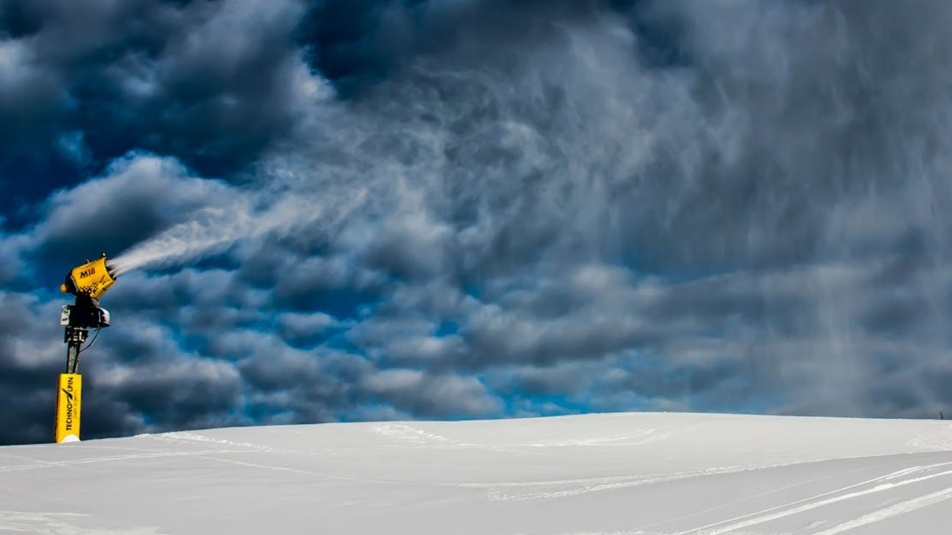
Continued warm weather will challenge Tahoe ski resorts attempting to bolster a thin snowpack with machine-made snow. Temperature inversions trap cold air in valleys overnight while warm air remains at higher elevations, potentially keeping middle-elevation resort areas above freezing. California will see above-normal temperatures from Dec. 2-8 across most of the state. The Central Valley represents the sole exception, where persistent chilly fog is expected to maintain cooler conditions.
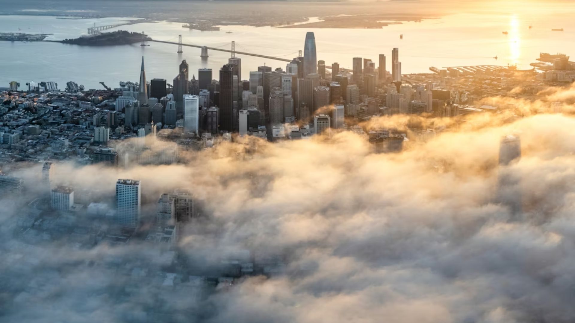
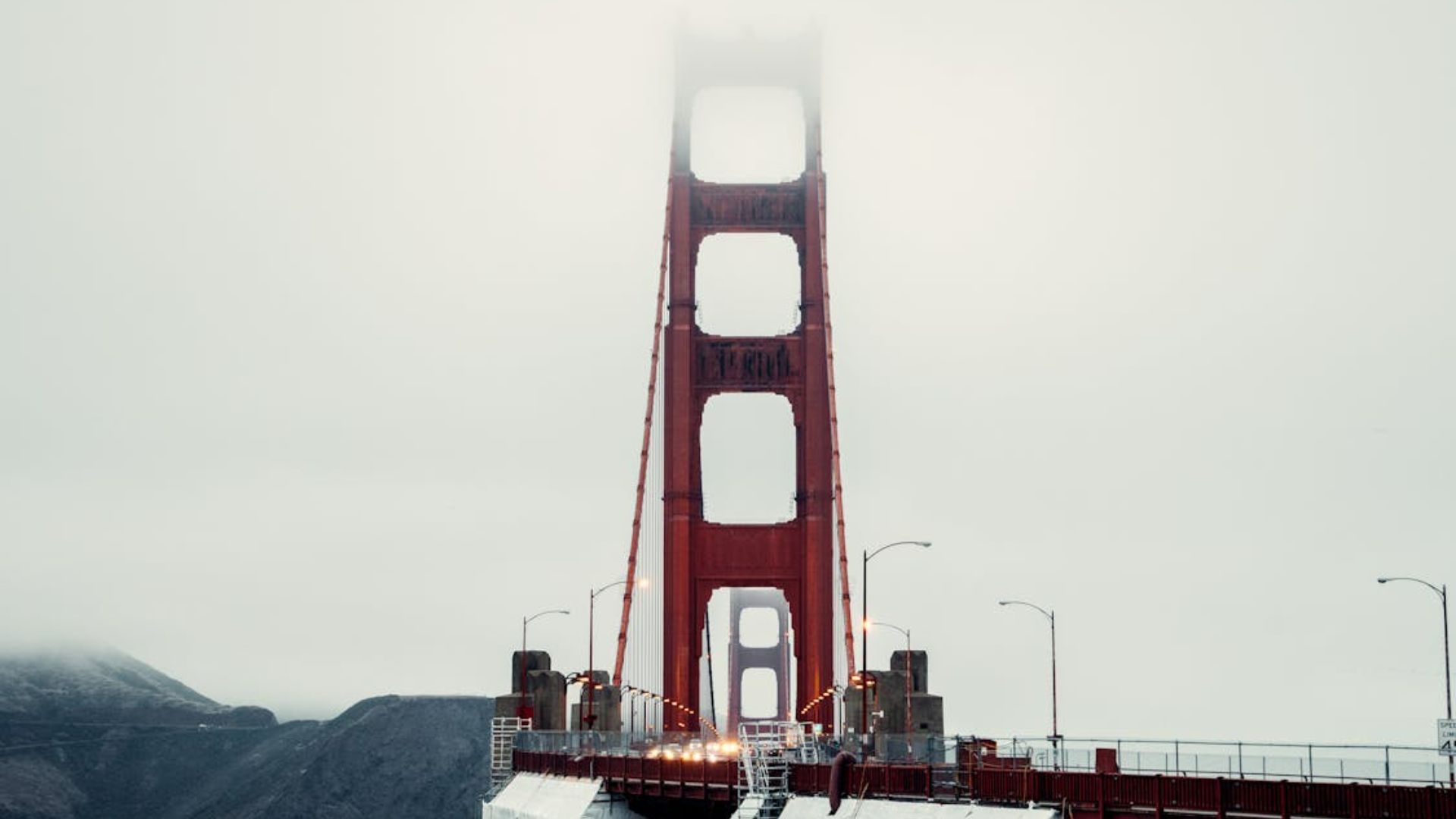
Sacramento Could See One of Its Foggiest Decembers in Years
The Central Valley will buck the statewide warm temperature trend. Winter high-pressure systems frequently lock in extended periods of fog across the region. On Thanksgiving, Sacramento experienced unrelenting thick fog that never lifted. The city’s high temperature reached just 48 degrees that day, marking its coldest November day in 30 years. December 2025 could rank among the Central Valley’s foggiest months in recent years, with persistent fog keeping temperatures suppressed beneath the gray layer.
A Stratospheric Disruption Is Driving the Dry Pattern
Complex mechanisms are creating California’s dry forecast. The West Coast high-pressure system forms part of a wavy atmospheric pattern spreading across the Northern Hemisphere, initiated by a disruption in the stratosphere. These high-amplitude wave patterns become locked in position, creating persistent storms in some regions while others experience prolonged calm weather. Scientists note that wintertime high-pressure systems along the West Coast are occurring with increasing frequency, a trend that may continue.
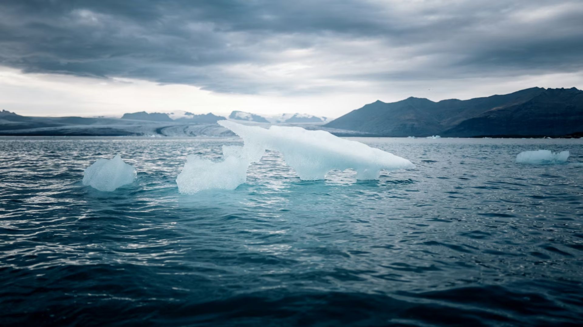
Record Low Arctic Sea Ice May Be Contributing to the Block
The blocking pattern may connect to Arctic sea ice extent, which currently sits at a record minimum for this time of year. The weather can shift rapidly in December, however. Last year, San Francisco recorded no rain during the first 10 days of December, then four days later, a powerful storm triggered the city’s first-ever tornado warning. The swift change demonstrates how quickly atmospheric patterns can flip during the winter season.
Rain Could Return After December 10, but Dry Conditions May Last Until New Year’s
Any pattern shift would most likely occur during the Dec. 10-14 window. The high-pressure system could migrate eastward, allowing storms to track along the Pacific coastline where they would gain moisture before reaching Northern California. These storms would likely originate near Canada, bringing colder air favorable for Sierra snowfall. The setup remains volatile, though. A minor eastward shift in the high-pressure position would maintain dry conditions. While late December may offer improved storm chances, long-range models favor drier than normal weather through at least New Year’s Day.