The Next ‘Super’ El Niño Could Hit This State Harder Than Any Other
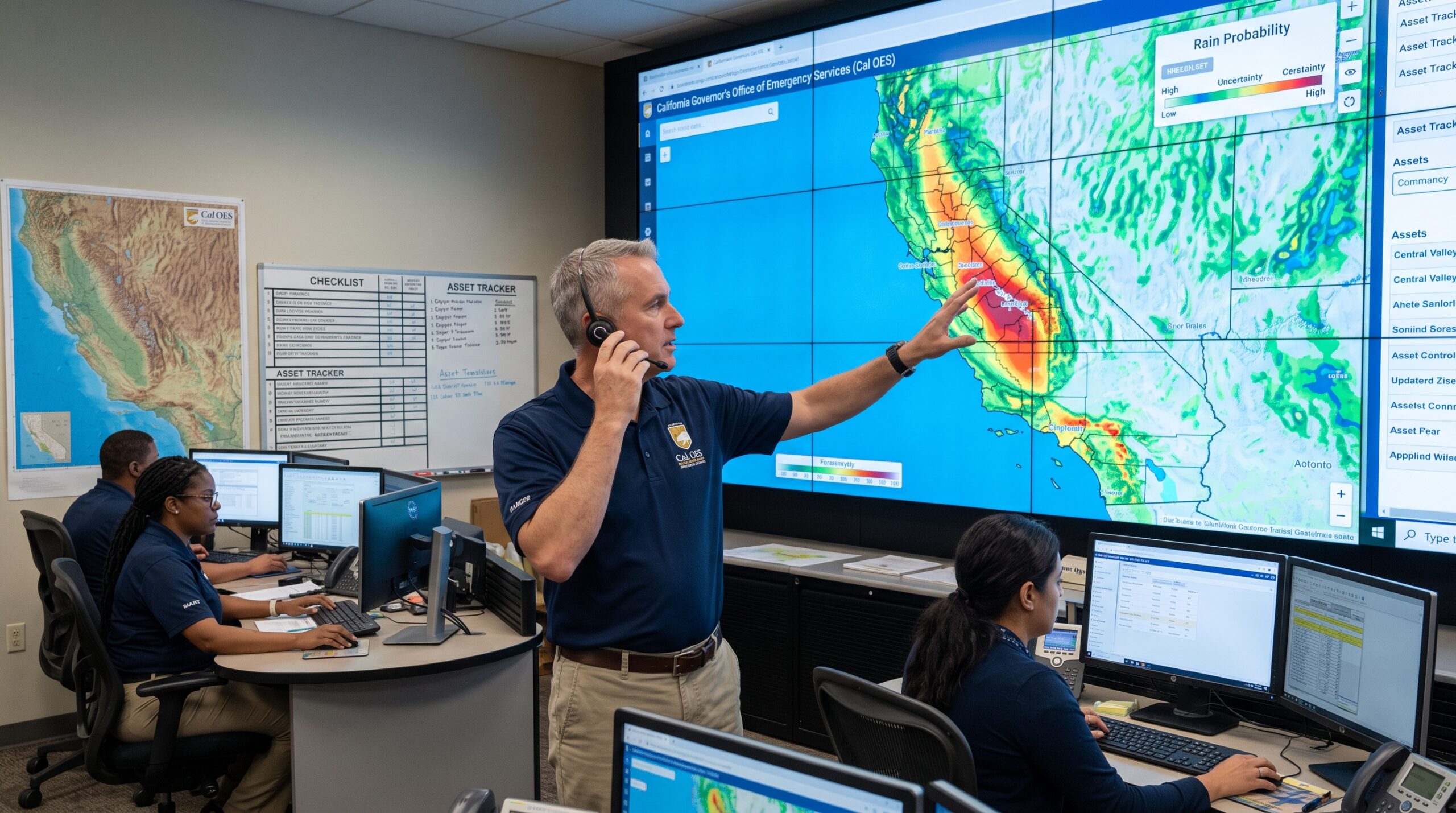

Weather can be pretty wild and unpredictable, but forecasters are keeping a very close eye on a colossal climate event brewing right now. A “Super” El Niño is rapidly gaining strength in the Pacific Ocean, gathering massive amounts of energy and moisture for this coming winter. While the entire globe is going to feel the ripple effects, experts warn that one specific US state happens to sit squarely in the crosshairs: California.
This article was created with the assistance of AI and reviewed by our editorial team for accuracy and clarity.
The 1998 Benchmark
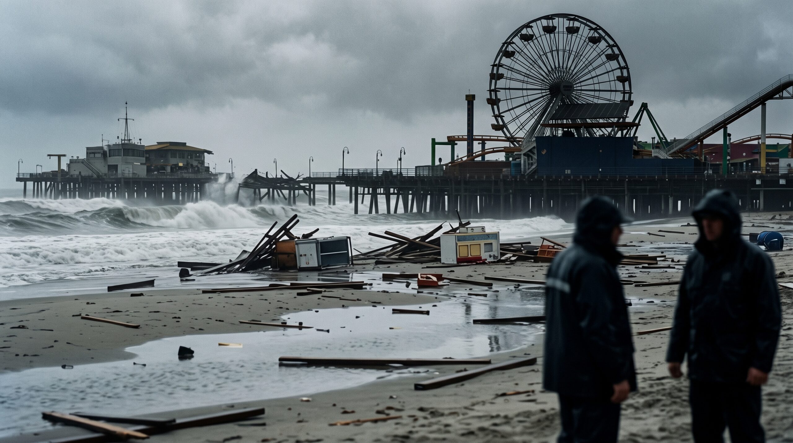
For anyone who has lived in the Golden State for a while, just hearing the phrase “Super El Niño” brings back some pretty intense memories of 1998. Back then, a nearly identical climate setup acted like a conveyor belt, aiming a relentless series of powerful Pacific storms directly at the coast. The historic deluge wiped out entire hillside neighborhoods and spawned pounding waves that tore right through the iconic Santa Monica Pier. That terrifying season remains the ultimate benchmark for just how deeply these massive storms can upend daily life.
Uncharted Territory
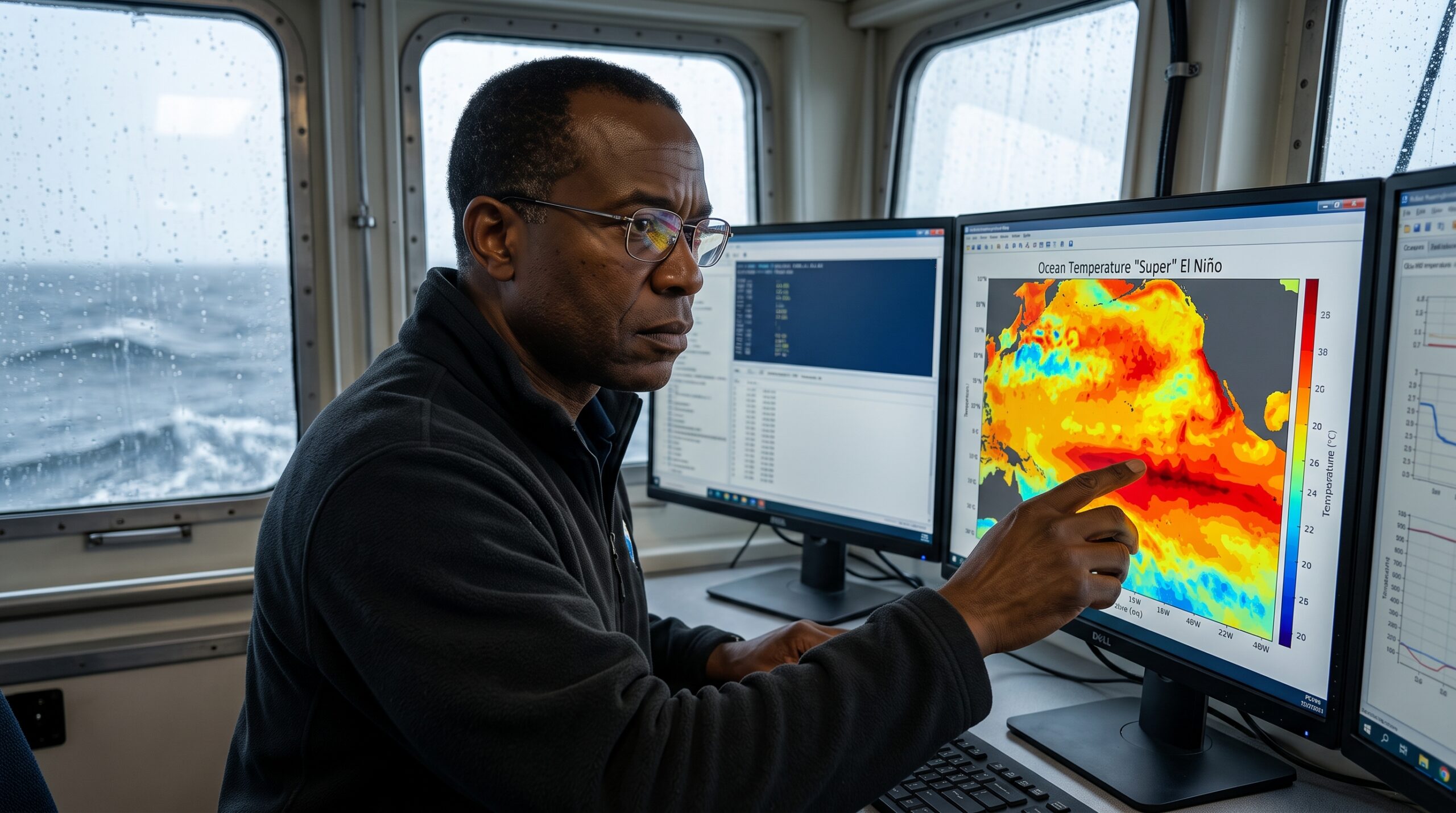
What makes this year’s forecast so alarming is that ocean temperatures in the Pacific are warming up at a historic rate. In fact, predictive models show this particular system strengthening well beyond some of the most powerful El Niño patterns we have ever recorded. Some climate experts are even suggesting we might need a whole new category just to describe an event of this magnitude. If those predictions hold true, California could be looking at a weather scenario that plunges the state into completely uncharted territory.
The Jet Stream Shift
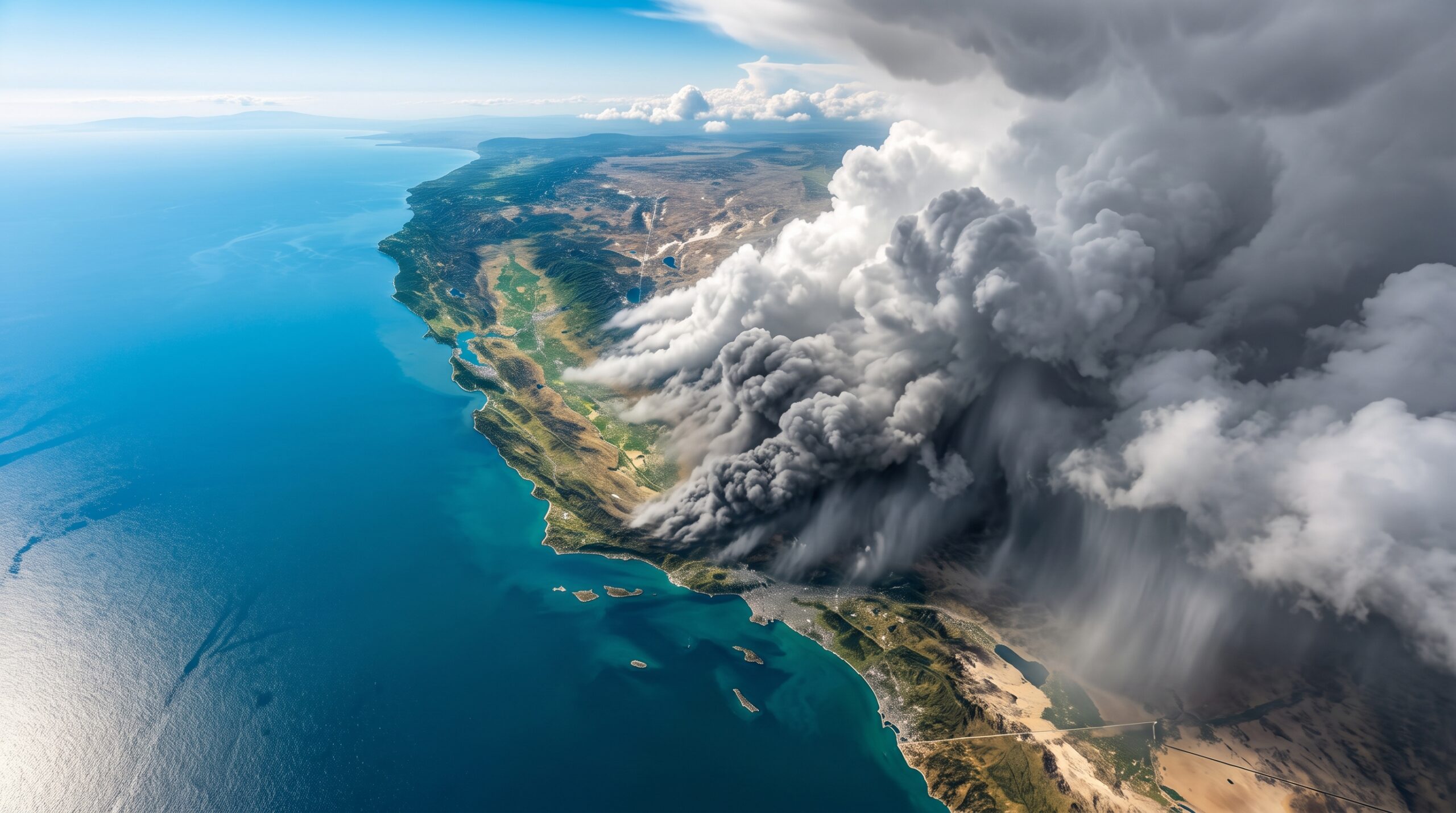
To understand why California is in such a vulnerable spot, you have to look at how El Niño actually messes with our global weather patterns. As the surface waters of the tropical Pacific get unusually hot, all that extra thermal energy literally pushes the atmospheric jet stream out of its normal position. This fast-moving river of air is shoved much further south than where it usually sits during the winter months. As a result, California winds up perfectly positioned to catch massive, supercharged storm systems that would normally glide harmlessly further north.
The Threat of Widespread Flooding

The most immediate and obvious danger of this southern shift is the overwhelming chance of a remarkably wet winter. Meteorologists are sounding the alarm about the elevated risk for severe inland and urban flooding from the Sierra Nevada down to the Southern California coast. When you get that much rain in such a short window, it can easily overwhelm local drainage systems and push aging water infrastructure to its absolute breaking point. Nobody wants a repeat of streets turning into rivers, but that is a very real possibility this year.
Coastal Communities Under Siege
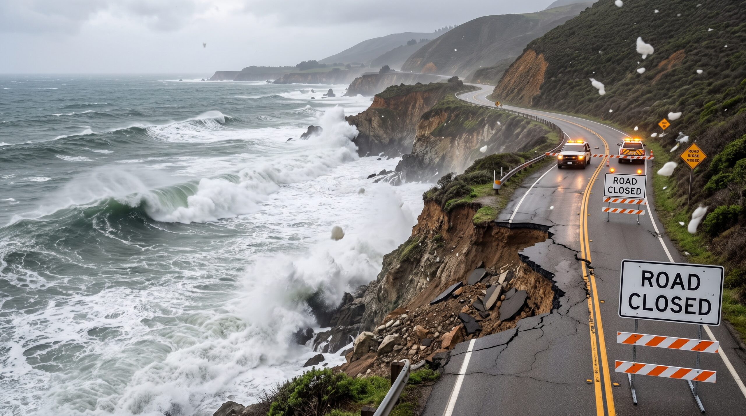
While inland communities are battling torrential rain, California’s world-famous coastline is going to face an equally fierce assault from the ocean itself. A powerful El Niño naturally creates underwater energy surges, known as Kelvin waves, that actually raise sea levels along the coast for months at a time. When you mix that abnormally high water with natural King Tides and aggressive storm surges, you get a recipe for catastrophic coastal erosion. Essential seaside infrastructure, including fragile stretches of the Pacific Coast Highway, could take an absolute beating from the pounding surf.
Landslides and Debris Flows
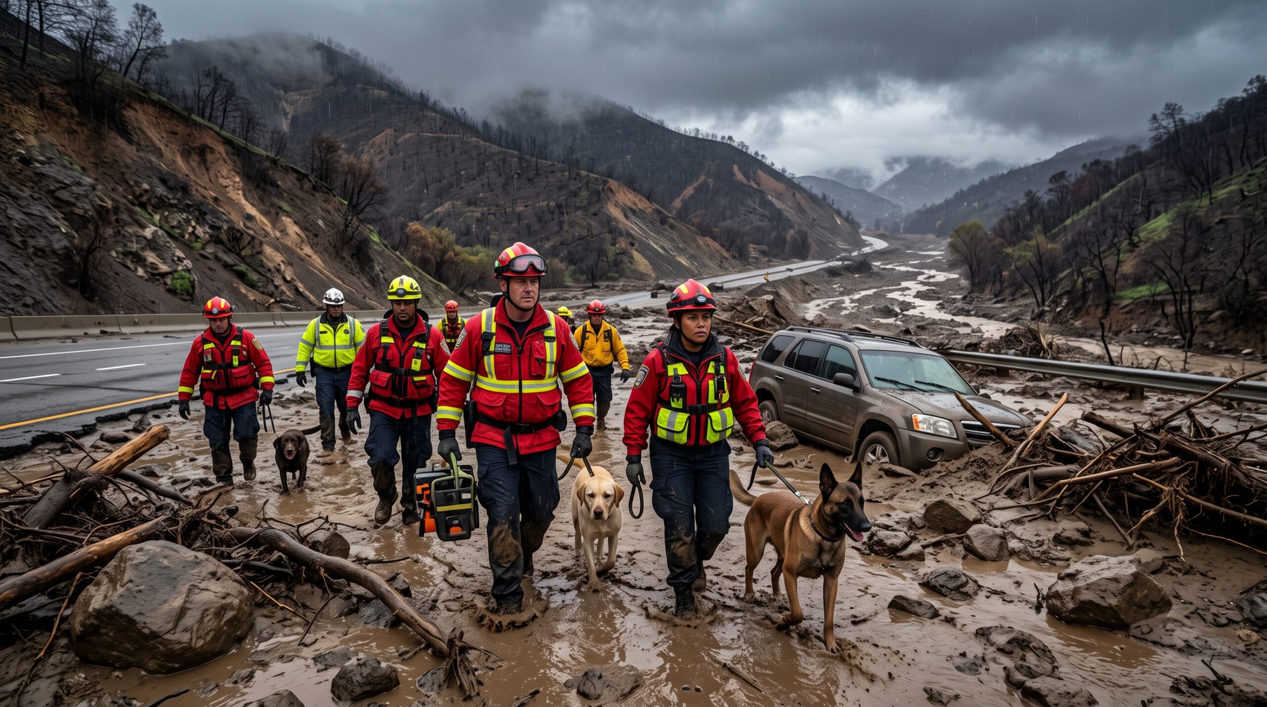
Then there is the state’s steep, mountainous terrain, which throws another incredibly dangerous wild card into the mix during heavy rainstorms. The hillsides that have been recently scarred by California’s frequent wildfires are incredibly vulnerable because the burned soil simply cannot absorb water. When relentless rain stalls over these damaged areas, the runoff can instantly trigger massive, terrifying mudslides. Historically, these sudden debris flows have been responsible for some of the most tragic losses of life during past El Niño winters.
Surprises in Store
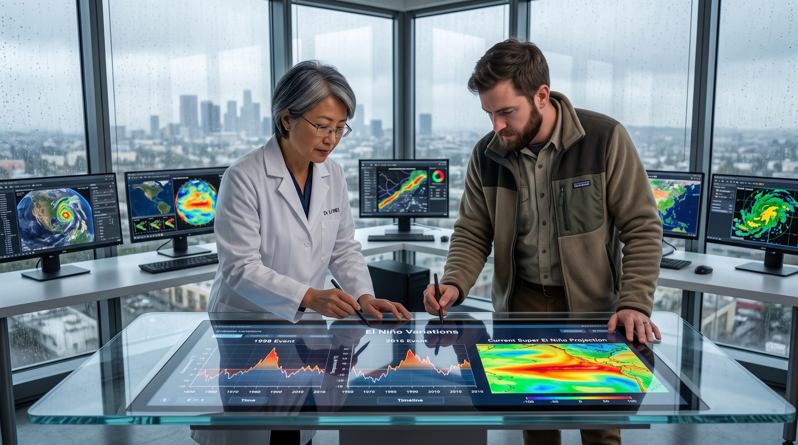
Despite all the historical comparisons, scientists are quick to point out that no two El Niño events are ever exactly the same. The 1998 storm is a great reference point, but this incoming system is practically guaranteed to bring its own unique set of surprises. Climate change and rising global temperatures have shifted the baseline since the late 90s, meaning the impacts could manifest in ways we haven’t seen before. The reality is that predicting exact rainfall totals this far out is tough, so forecasters are telling everyone to expect the unexpected.
Probability Versus Certainty
That being said, it is incredibly important to remember that a weather forecast is about probabilities, not absolute certainties. An extreme El Niño definitely stacks the deck in favor of a dangerously wet and wild winter, but it does not guarantee a nonstop disaster. Unexpected shifts in the atmosphere can always happen at the last minute, slightly altering a storm’s track or easing up on the rainfall. Still, banking on a lucky break is a terrible strategy when billions of dollars in property and countless lives are potentially on the line.
The Window for Preparation
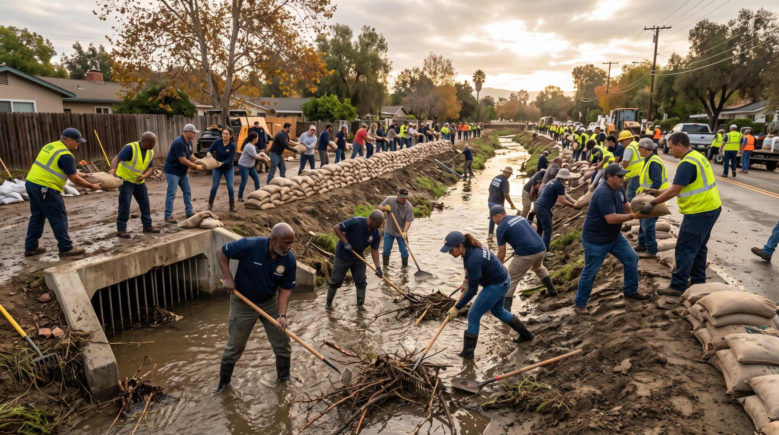
The one piece of good news is that these massive climate events don’t just appear out of thin air overnight. Since the peak impacts of a Super El Niño usually don’t hit until the dead of winter, California has a crucial advantage: time. This extended runway gives city officials, emergency crews, and everyday residents a few precious months to clear out storm drains, secure property, and prepare. Acknowledging the very real risks right now is the best and only way the state can weather whatever nature decides to throw at it.