Scientists Warn Americans of a Rare, Potentially Devastating ‘Super El Niño’ That Could Be the Strongest in 100 Years
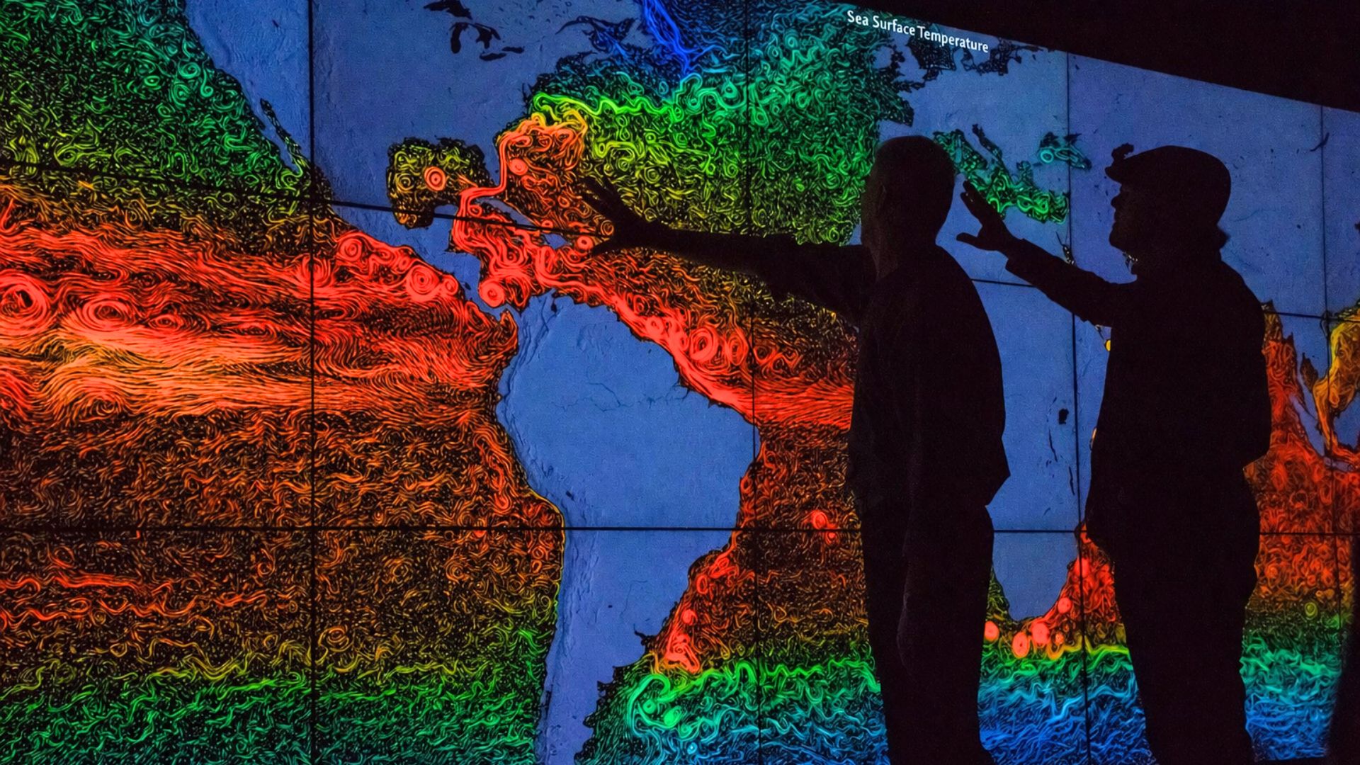

A climate event powerful enough to rewrite global weather records may already be forming in the Pacific Ocean. Scientists are now warning that a rare “super El Niño” could hit this year, possibly becoming the strongest in over a century. Updated forecasts from the European Centre for Medium-Range Weather Forecasts show rising odds of a supercharged event arriving as early as this summer or fall. What happens next could reshape weather patterns across the entire planet.
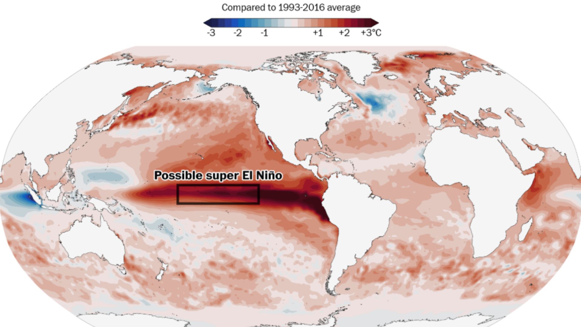
A regular El Niño occurs when a stretch of ocean water near the equator warms above normal, shifting rainfall, heat, and storm activity worldwide. A super El Niño takes that further: sea temperatures rise more than 2 degrees Celsius above average, triggering stronger, longer-lasting disruptions across continents. These events happen only once every 10 to 15 years. When they do arrive, they don’t stay quiet. The ripple effects spread from the tropics outward, touching places that may never see the ocean firsthand.
Paul Roundy, an atmospheric science professor at the State University of New York at Albany, described the situation as having “real potential for the strongest El Niño event in 140 years.” That would surpass the record set in December 2015, when Pacific temperatures climbed 2.8 degrees Celsius above average. Scientists also point to a rare triplet-cyclone pattern already forming in the Pacific as a possible warning sign. Uncertainty remains, but the signals are hard to ignore.
The Forecast Is Already Alarming
The projected impacts reach nearly every corner of the globe. In the Atlantic, hurricane activity could decrease, while the Pacific faces a surge in tropical storms, raising risk levels for Hawaii, Guam, and much of eastern Asia. The Caribbean islands may experience worsening drought conditions alongside extreme heat. For millions of people living on islands or in coastal zones, these aren’t abstract statistics. They are disruptions to water supplies, agriculture, and daily survival.
South Asia faces its own serious threat. Forecasters warn that central and northern India could see suppressed monsoon rainfall, placing enormous pressure on farming communities that depend on seasonal rains to grow food. Across the Pacific, droughts may grip Indonesia, the Philippines, Australia, and parts of Central America. Meanwhile, flooding rains could pound Peru, Ecuador, parts of Africa, and the Middle East. The same event brings opposite extremes to neighboring regions, making preparation complicated and critical.
For Americans, the picture is mixed but significant. The western United States could face above-average summer heat paired with unusual downpours. Severe thunderstorm season may stretch further into the Plains than usual. By late 2026 into early 2027, milder winter temperatures are expected across much of the country, but large storms could batter the West Coast as El Niño effects reach their peak. Those living in vulnerable regions may have only months to prepare.
Record Global Temperatures Are Expected, and the Heat Has Nowhere Left to Go
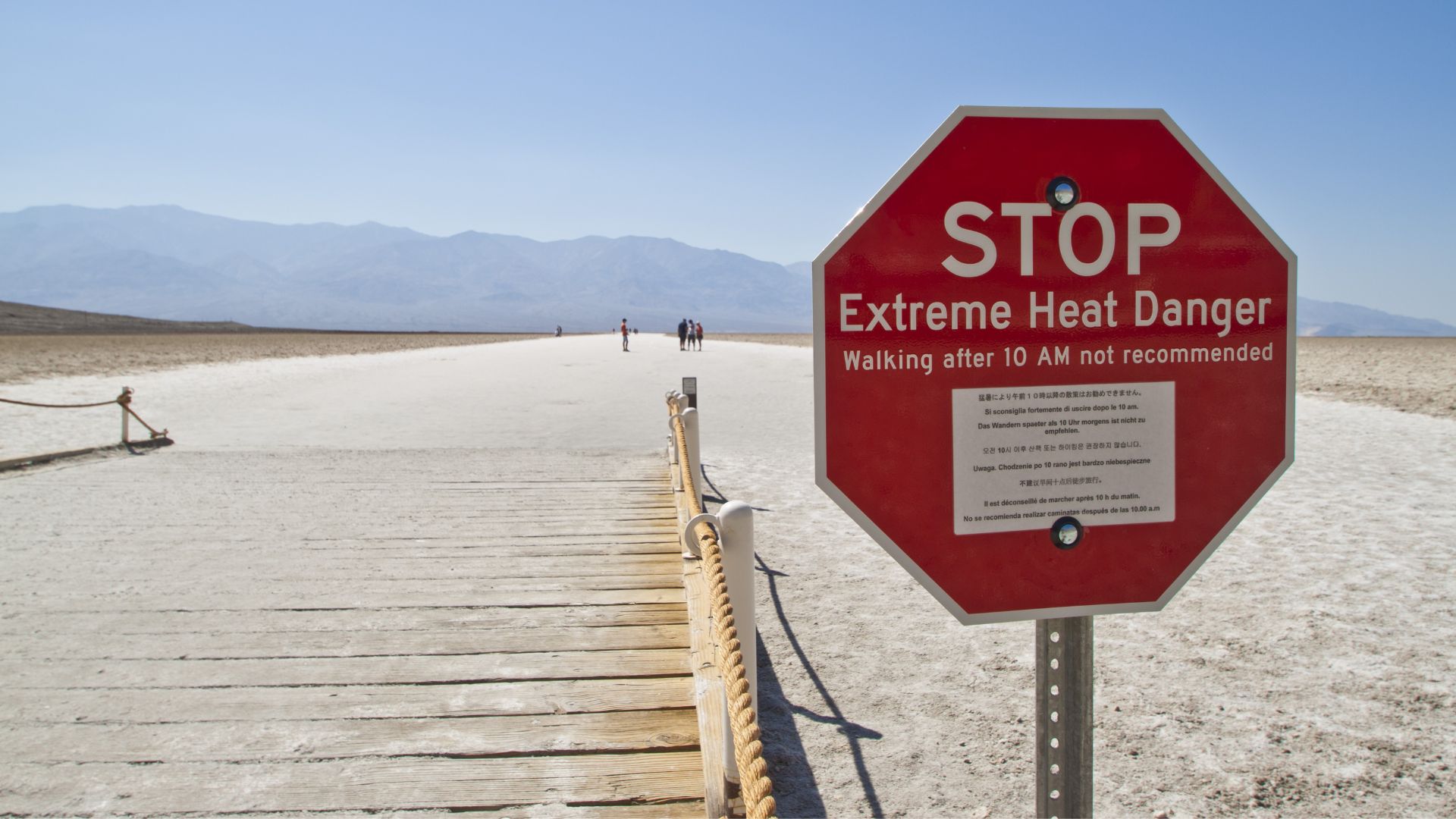
The heat generated by a super El Niño doesn’t just stay in the ocean. During these events, enormous amounts of stored ocean heat transfer into the atmosphere, spread across the tropics, and then get redistributed globally through changes in jet streams. Scientists say the strongest El Niño events almost always trigger record-warm years on land. If this year’s event unfolds as projected, global temperature records set in 2024 could fall as early as 2027, affecting agriculture, infrastructure, and public health worldwide.
Defense Department meteorologist Eric Webb explained the underlying mechanism in stark terms. Because greenhouse gas concentrations keep rising, the climate system cannot fully release heat from one major El Niño before the next one adds more. Each major event, Webb noted, pushes the global temperature baseline higher. A super El Niño in 2026 and 2027 would therefore release more heat into the atmosphere than previous record events in 1982, 1997, and 2015. The compounding effect is what makes this moment different from cycles past.
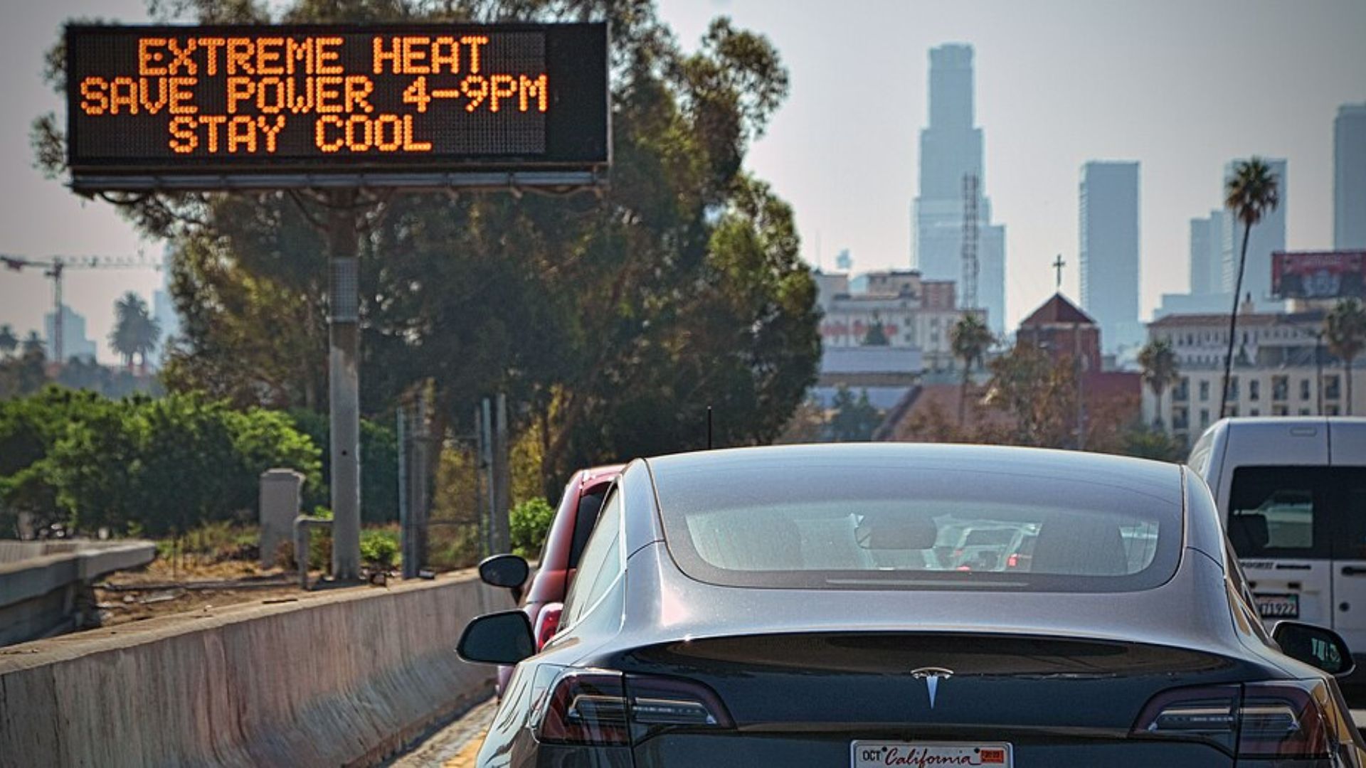
The moisture threat deserves equal attention. A warmer atmosphere holds more water vapor. During a super El Niño, that means record atmospheric moisture flows that can drive intense, prolonged downpours far beyond the tropics. Scientists warn this raises flood risk across multiple regions simultaneously. When extreme rainfall hits areas already weakened by drought cycles or poor infrastructure, the destruction can be severe. The heat and the water work together, and the combination is what keeps researchers most concerned about what lies ahead.
The Signals Are Already There. The Question Is Whether the World Is Listening
El Niño events have always served as natural reminders of how interconnected global weather systems truly are. But a super El Niño amplifies every lesson: a warming patch of ocean thousands of miles away shapes monsoons, wildfires, harvests, and flood seasons across dozens of countries simultaneously. Scientists tracking this year’s event say the early indicators, including Pacific sea temperatures and cyclone patterns, are moving in a direction that demands serious attention from governments, emergency planners, and communities.
History offers some guidance. After the 1997 and 1998 super El Niño, researchers documented widespread coral bleaching, agricultural losses across multiple continents, and intensified wildfire seasons. The 2015 to 2016 event contributed to severe droughts in southern Africa and record temperatures across Asia. Each of those events arrived with warnings that were partially heeded and partially ignored. The populations that fared best were those that prepared early, coordinating food storage, water management, and emergency infrastructure before the worst conditions hit.
What makes 2026 different is the baseline has shifted. The planet is already warmer than it was during any previous super El Niño. That means the event scientists are watching unfold would layer extreme climate disruption on top of an already stressed global system. The coming months will reveal just how powerful this cycle becomes. But one question will outlast whatever records it breaks: at what point does a rare event stop being rare, and start being the new pattern we have to live inside?