Scientists Have Identified The Main Culprit Behind Rising Sea Levels
Scientists have identified the main driver of rising sea levels as melting ice sheets and glaciers combined with expanding ocean water. Warmer temperatures cause glaciers to shrink, releasing more water into the ocean. At the same time, heating water causes it to take up more space. Recent data show these two factors have increased sea levels faster than before, impacting coastlines worldwide and altering ocean behavior.
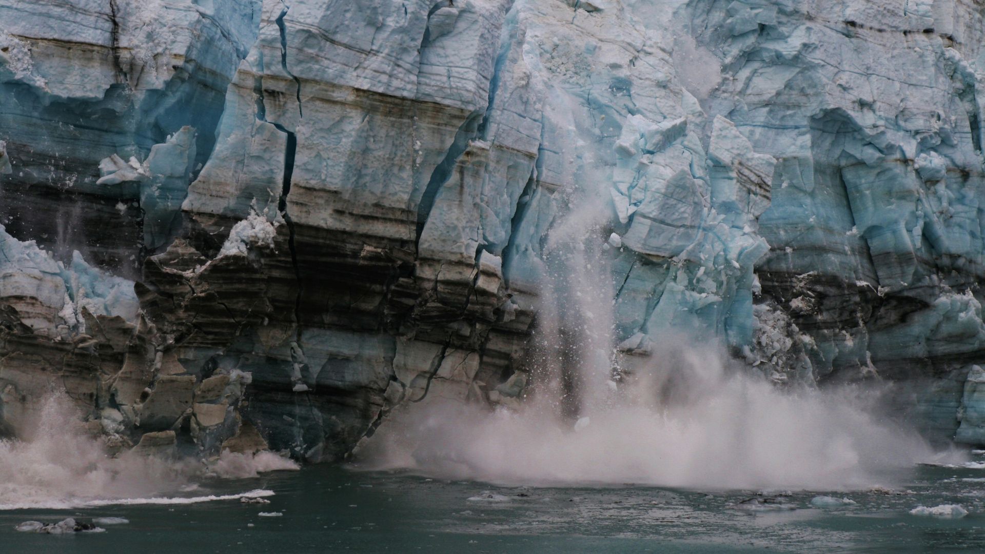
Antarctic Ice Melt Accelerates Sea Level Growth

Antarctic ice is melting faster than ever, sending large amounts of water into the ocean and raising sea levels. Scientists are watching areas like East Antarctica and West Antarctica, where warming ocean currents have sped up the process. Some research shows even a small shift in temperature can trigger big changes, so the numbers keep climbing. Increased meltwater on the ice surface makes the sheet unstable and helps it break apart quicker, fueling the rise
Greenland Contributes Significant Ocean Rise

Greenland’s ice sheet keeps releasing water that adds to the ocean’s rise. Melting there has sped up lately, so the numbers are changing quickly. Scientists have tracked how melting summer ice and warmer air combine to send billions of tons of water toward the coast each year. Satellite measurements help show where the biggest shifts are happening, and experts just keep finding new ways to monitor the pace. This ongoing change is shaping water levels around the world
Thermal Expansion Linked to Higher Waters
Warmer ocean temperatures just make water expand, so the sea takes up more room. This natural response is called thermal expansion, and it’s a big part of why coastal measurements are rising year after year. Even small temperature increases can add up across millions of square miles of water. Scientists track these changes using both sensors in the ocean and satellites above, helping paint a clear picture of how heat drives the oceans higher.
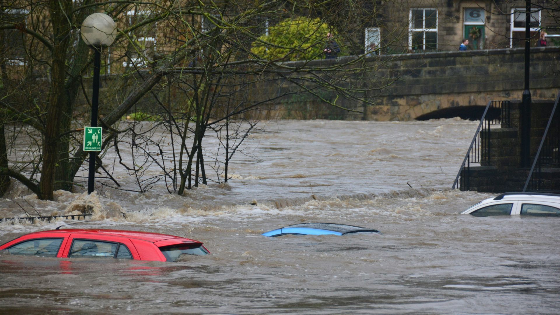
Coastal Regions Face Increased Flood Risk
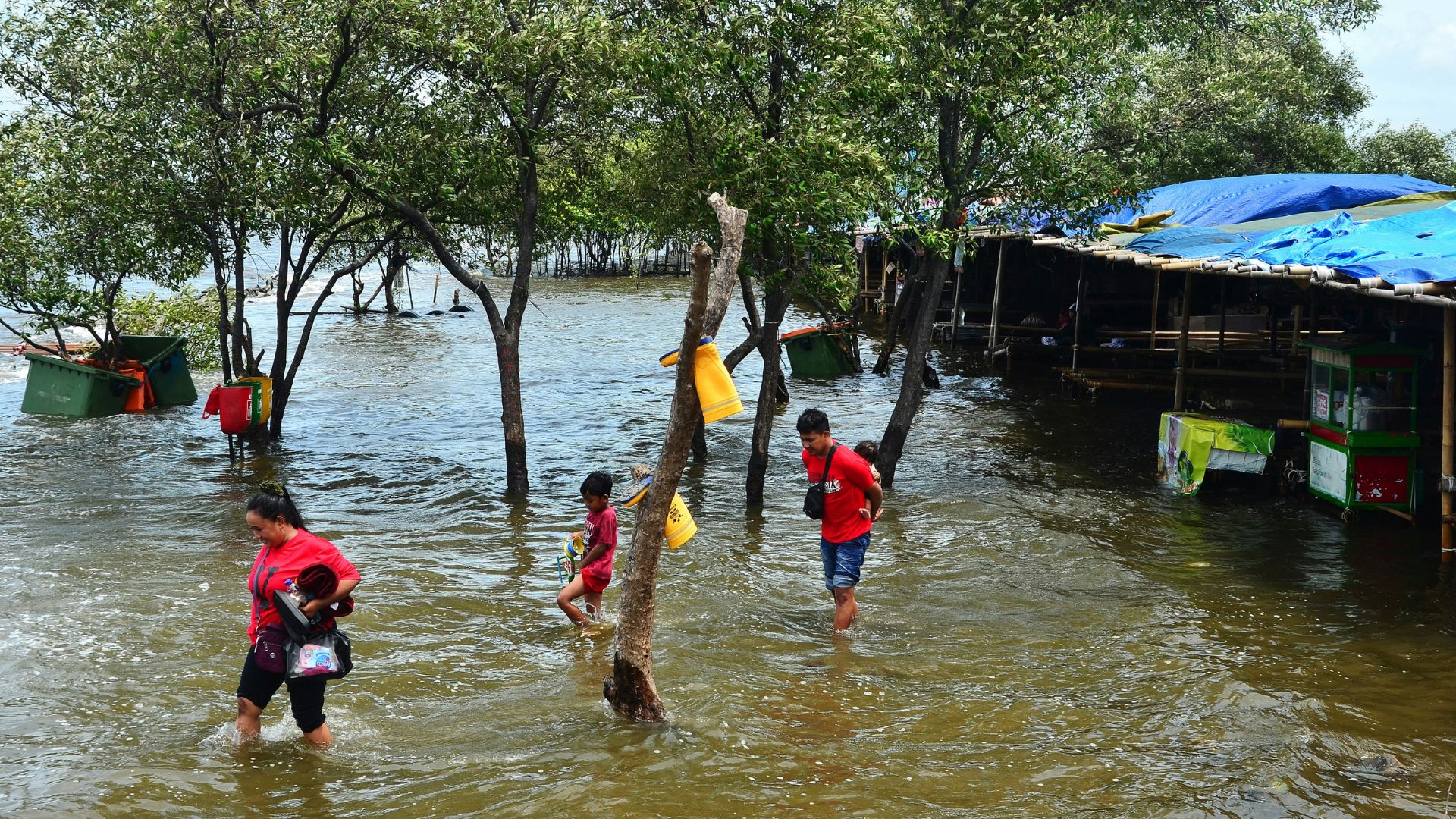
Higher sea levels leave coastlines more exposed to flooding, so people living there just see water creeping closer each year. Storms hit harder, and tides are reaching spots that used to stay dry. Many families and businesses in coastal towns also notice water in places that never flooded before. City planners and local leaders use these trends to help protect streets and homes. Noticeable changes happen faster now, so flood maps keep getting updates.
Ocean Heating Records Set in Recent Years

Ocean heat keeps setting new records, and scientists are quick to spot the trend. Each year, measurements show higher and higher temperatures in the upper layers of water. Climate experts also see that warmer seas just hold onto energy, so heat sticks around longer. Research ships and satellites collect data nonstop, helping teams confirm the latest peaks. All these rising numbers mean more evaporation and shifting weather patterns for everyone who lives near the water.
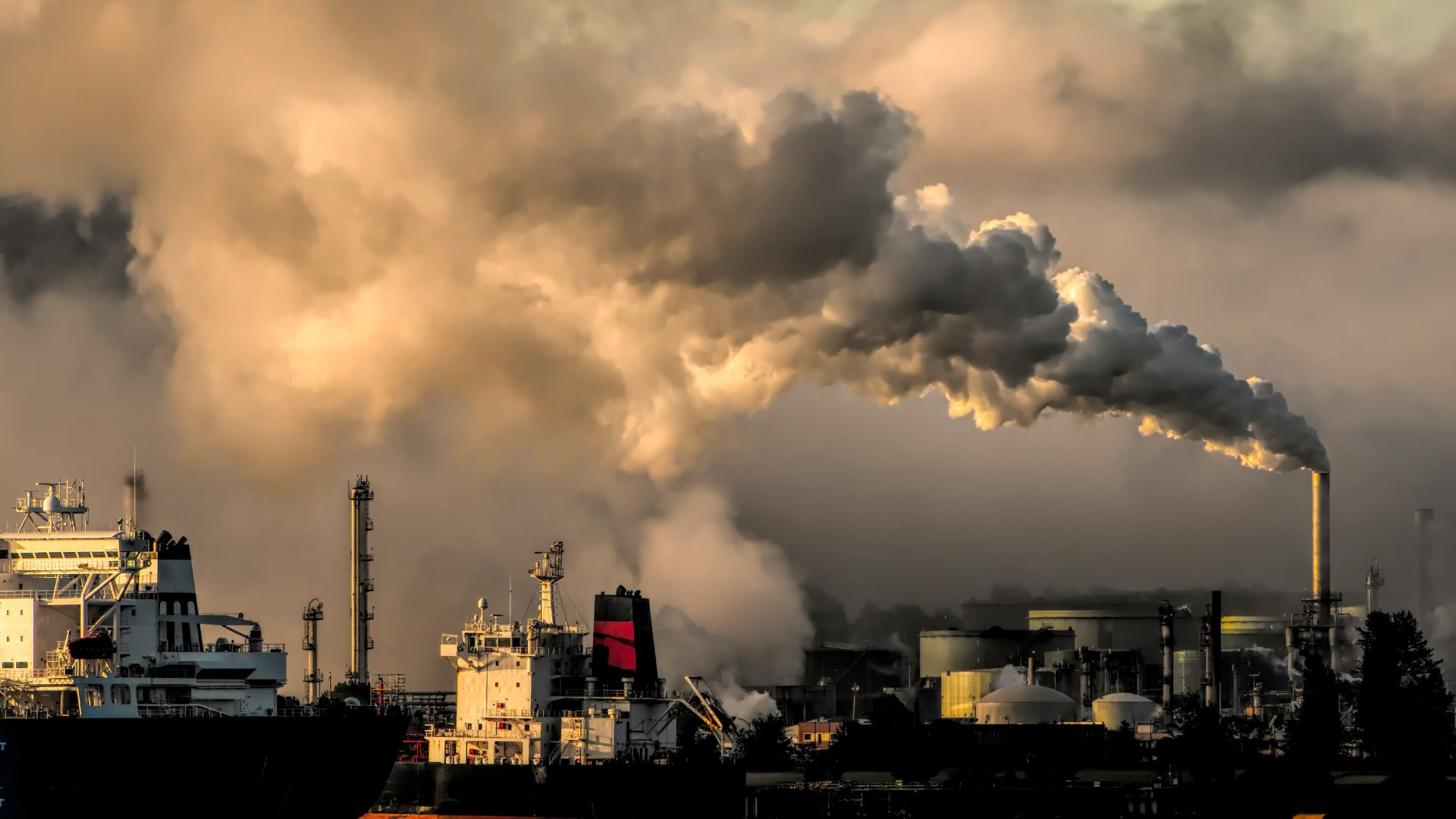
Climate Change Drives Rapid Water Level Gains

Climate change speeds up water level gains in ways that people everywhere now notice. Greenhouse gases just trap more heat around the globe, and so ice sheets lose mass faster. Oceans also hold extra warmth, helping push measurements even higher. Records show trends have shifted in recent decades, with large swings in sea level happening more quickly than before. Experts combine local tide readings and climate models to spot how fast these changes build year to year.
Emission Scenarios Impact Future Sea Levels
Forecasts for sea level changes just keep shifting because emissions change every year. Scientists watch how greenhouse gases move in the atmosphere, so their predictions adjust as they see trends go up or down. Climate models also show that lower carbon output can slow the pace, but higher emissions speed it up. People in science and policy research use these outlooks to plan, and updated information gives communities a clearer view of what to expect.
Satellite Data Confirms Accelerating Trends
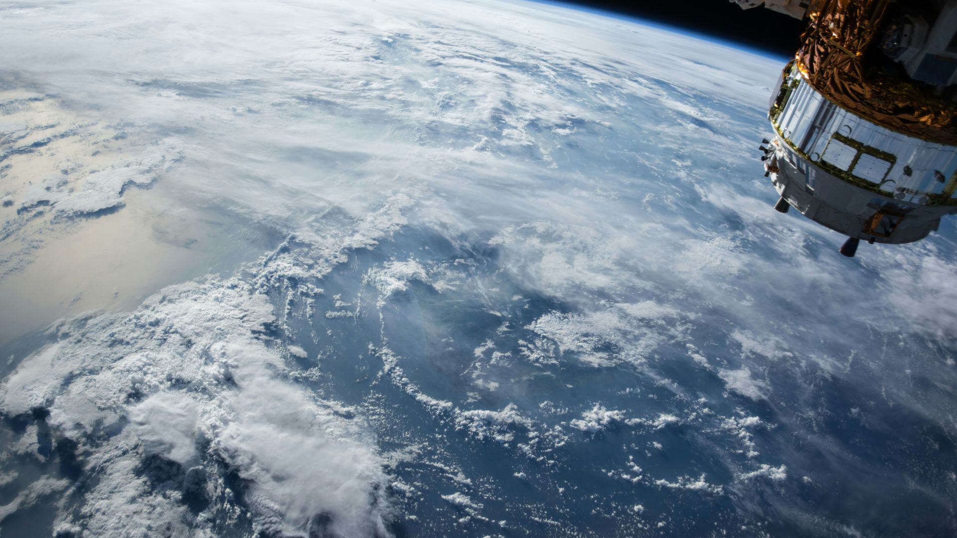
Satellites just keep sending back new information about sea level shifts, so researchers can track changes almost in real time. Decades of missions show water levels rising faster now than in records. Advanced tools on board capture even tiny differences from year to year, making trends clear to experts and the public. Scientists also use satellite maps for spotting areas most affected, and those images reveal where the biggest jumps happen along the coast.
Stay Curious and Help Shape Coastal Changes

Keep an eye out for updates on rising water levels and check local resources for news about your community. Simple actions, like joining a neighborhood group or supporting areas at risk, just help everyone adjust together. Spread the word with friends and family so others can stay aware too. Even choosing to learn more or speak up at town meetings gives your voice a place in future beach and city plans.