New Records Raise Questions About Why a Major National Monument Was Shrunk
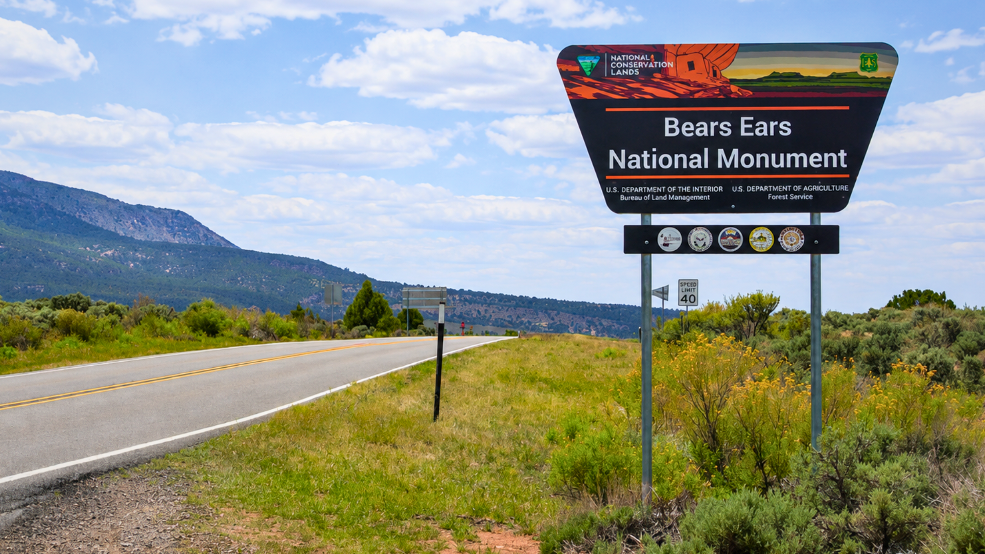

Inside the Oval Office on July 13, 2026, President Trump held up a freshly signed proclamation and declared that Utah’s Bears Ears National Monument had been locked away from ordinary Americans for years. “You can’t go hunting, you can’t go fishing, you can’t do anything,” he told reporters, using that claim to justify slicing more than 1.2 million acres off the monument. Records surfacing weeks later paint a very different picture of what was actually happening on that land.
Standing beside the president, Interior Department deputy Kate MacGregor backed him up without hesitation. “That’s exactly right, sir, so you are remedying that today,” she said, reinforcing the idea that visitors had essentially been barred from the 1.36 million acre site. The moment was framed as a correction, a president freeing land that had supposedly been sealed off from hikers, hunters and everyday explorers for nearly a decade.
But The New York Times filed a public records request and got documents Trump’s own Interior Department had reviewed just weeks before that announcement. Those briefing papers described a landscape far removed from the one described in the Oval Office, one already threaded with marked trails, backcountry routes and designated corridors for outdoor recreation. What investigators found buried in those pages would undercut the administration’s entire justification for the cut.
June Memo Confirmed Trails, Off-Road Routes and Backcountry Access Months Before the Cut
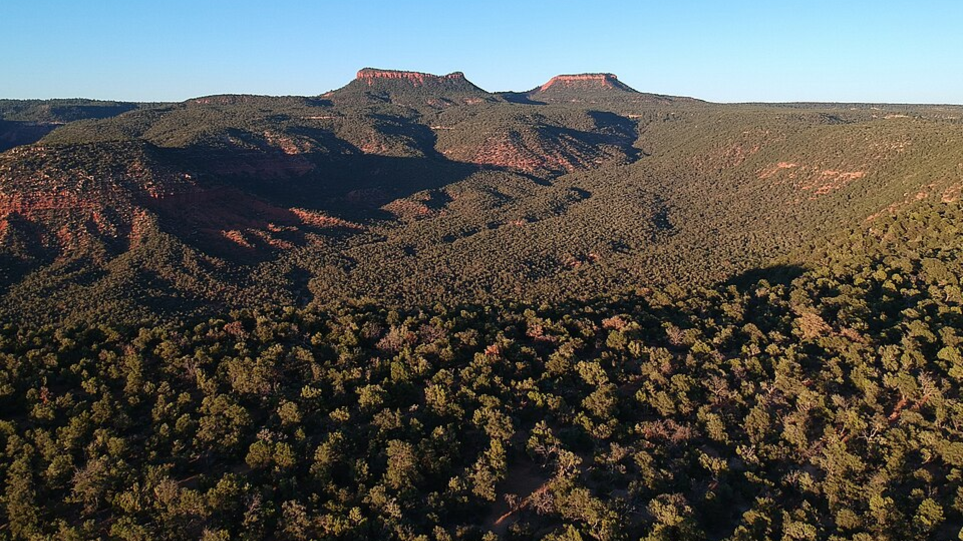
Utah’s own Public Lands Policy Coordinating Office had sent a briefing memo to a senior Interior Department adviser back in June, weeks before the announcement, confirming “current recreational access” existed across the monument. The memo pointed to a route open to off-road vehicles that offers motorized passage deep into the backcountry, plus a corridor regularly used by backpackers tackling a 40-mile wilderness loop. None of it matched the picture painted in the Oval Office that day.
The same records showed something else the administration left out entirely. Utah officials confirmed that hunters and anglers were free to use the land, provided they carried the required state licenses, the exact activities Trump claimed were impossible there. Bears Ears sits under different rules than nearby national parks, where hunting is typically banned outright. In this monument, it had been permitted the whole time, licensed and largely unremarkable.
News of the internal memo spread quickly among public lands advocates who had spent years defending the monument’s boundaries. Legal experts, tribal leaders and conservation groups who had watched the announcement unfold began combing through the same documents the Times had obtained. What they found in Steve Bloch’s reaction, and in the words of a tour guide who has spent his life on that land, made the discrepancy impossible to ignore.
Southern Utah Wilderness Alliance Director Accuses Trump of “Lying” About the Land
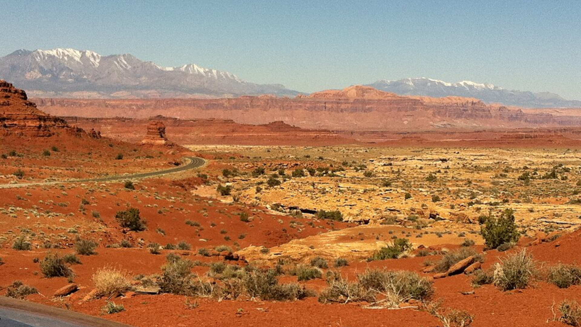
Steve Bloch, legal director for the Southern Utah Wilderness Alliance, reviewed the documents and did not mince words. He told the Times the records showed Trump was “lying or spreading misinformation” about land his own agency had just surveyed. For an organization that has fought over Bears Ears boundaries through multiple administrations, the memo offered rare documented proof that the administration’s public reasoning did not match its private briefings.
Louis Williams, who founded a group running indigenous-led tours through the monument, reacted with disbelief when he heard the president’s remarks. He said he found himself wondering whether Trump had ever actually visited the region, since anyone who had spent time there would know the trails, campsites and hunting grounds are open and well used. For Williams, the gap between the rhetoric and the record felt personal.
National monuments carry protections similar to national parks. Presidents can designate them under the Antiquities Act, and while camping, hiking, hunting and fishing remain allowed, development like mining, drilling, and grazing is typically prohibited inside their boundaries. That distinction matters here. Removing over a million acres from monument status opens land once shielded from industry to exactly the kind of development the designation was built to block.
A Decade of Reversals Ends in the Largest Rollback Yet
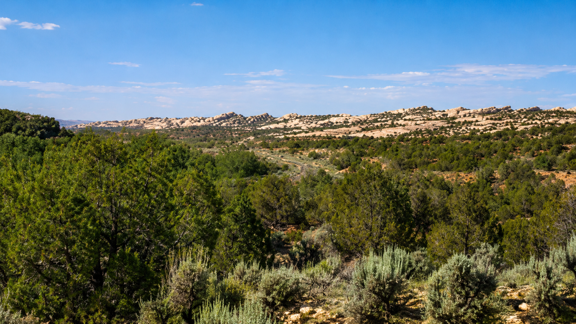
Bears Ears has been fought over for a decade. Barack Obama first designated it a national monument in 2016 after years of advocacy from tribal nations across the Southwest. Trump moved to shrink it in his first term, slashing the boundaries over the objections of local tribal groups. He was sued, but the case never reached a resolution before Joe Biden’s administration restored the monument to its full size, undoing the cut before courts could weigh in.
This time the reduction goes further than anything attempted before, stripping more than 1.2 million acres from Bears Ears alone and marking one of the largest rollbacks of protected public land in the nation’s history. Tribal groups that had only recently regained a formal role in managing the site now face losing that influence again. Lawsuits are already expected, but unlike the last fight, the paper trail this time points directly at the administration’s own words.
The records contradict a talking point built to sound urgent. They show a government that surveyed its own land, documented what was already open to the public, then told a different story to justify undoing it. Bears Ears was never sealed shut, and the officials who reduced it knew that before they ever stepped in front of the cameras. The land changed hands in size, but the truth about it never did.