Multi-Day Severe Weather Threat Puts Millions at Risk Across Midwest
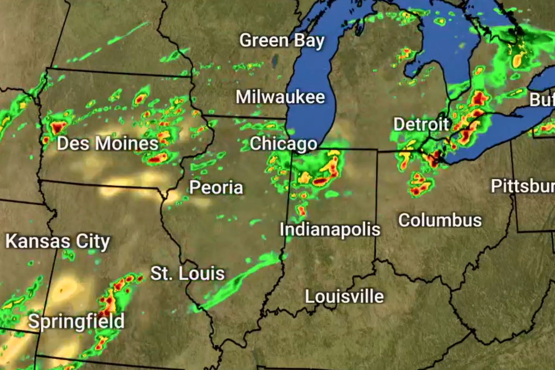

A sprawling, multi-day severe weather outbreak is sweeping across the central United States, putting tens of millions at risk from Texas to the Great Lakes as forecasters warn of tornadoes, destructive hail, flooding, and damaging winds through the end of the week.
Tornadoes and Giant Hail Already Leave Their Mark
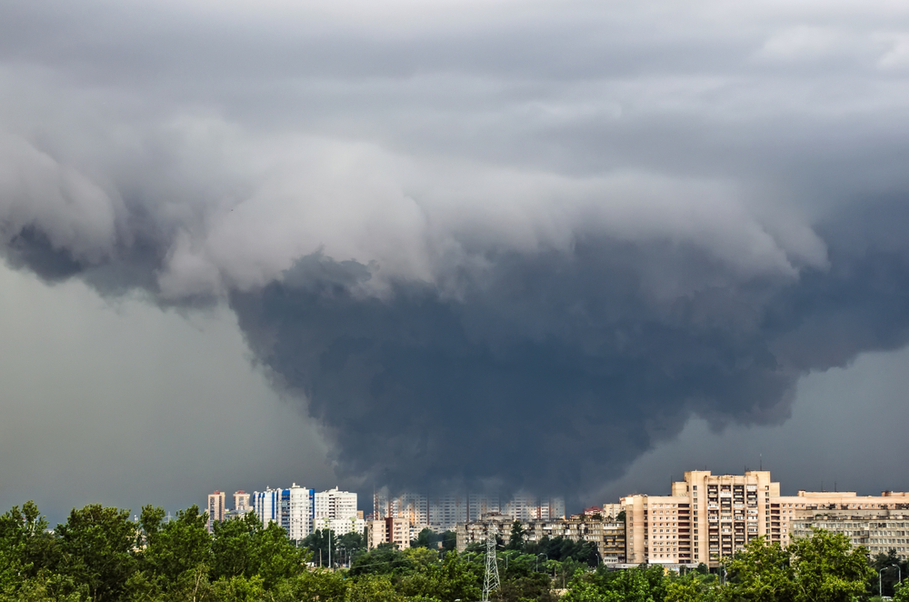
The outbreak has already produced dozens of tornado reports and significant destruction across multiple states, including Wisconsin, Iowa, Kansas, and Minnesota. In some areas, hail as large as softballs and baseballs has battered homes, shattered windows, and damaged vehicles, with at least one home destroyed and many others heavily impacted.
Communities Hit Overnight as Storms Intensify

Storms have repeatedly redeveloped overnight, catching many communities off guard as they push eastward. Meteorologists warn that the timing makes the threat more dangerous, urging residents to have multiple ways to receive alerts while asleep as tornadoes, large hail, and strong winds remain possible through the night.
Widespread Tornado Warnings Stretch Across States
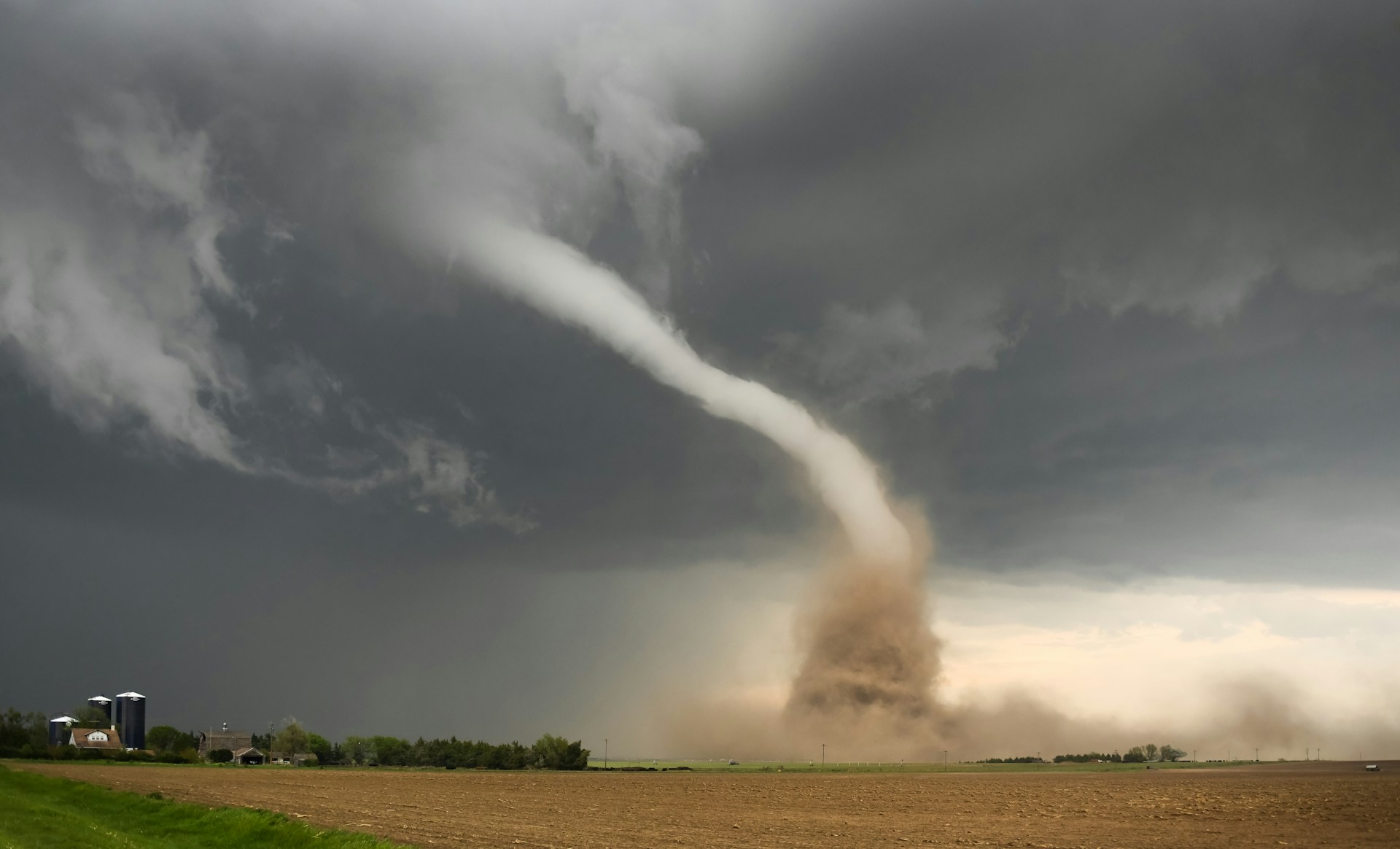
Millions of residents across major population centers including Milwaukee, Chicago, Detroit, and parts of Arkansas have faced tornado warnings during this outbreak. Universities and local authorities have advised people to take shelter as fast-moving storms triggered emergency alerts across a wide swath of the Midwest and southern Plains.
Structural Damage and Power Outages Mount
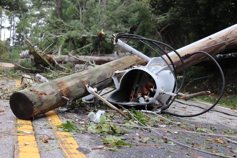
The storms have left behind a growing trail of destruction, with entire neighborhoods damaged, roofs torn from buildings, and power outages affecting tens of thousands. In Kansas alone, tornadoes damaged around 100 structures, many of them severely, while more than 25,000 customers in Wisconsin lost power during the peak of the storms.
Flooding Emerges as a Second Major Threat

Beyond tornadoes and hail, relentless rainfall is creating dangerous flooding conditions, particularly across Michigan and Wisconsin. Rivers already swollen from snowmelt and a wet spring are nearing or exceeding flood stage, prompting evacuations, water rescues, and even concerns about dam failures in some areas.
A Multi-Day Setup Driven by Spring Weather Patterns
Meteorologists from The Weather Channel point to a classic spring setup fueling the prolonged outbreak, with warm, moist air colliding with a powerful storm system moving across the Plains and Midwest. This pattern has allowed storms to repeatedly form and intensify, with shifting fronts increasing both the hail and tornado threat as the system evolves.
The Most Dangerous Days Still Ahead

Forecasters say the threat is far from over, with Friday expected to bring the most dangerous conditions, including a Level 3 out of 5 severe weather risk for more than 7 million people. Strong tornadoes, widespread damaging winds, and large hail are all possible, especially from Oklahoma through Iowa, before the system begins to weaken.
Millions Remain in the Path of the Storm System

At its peak, the severe weather threat is expected to impact more than 70 million people across the central U.S., stretching from Texas to the Great Lakes. Major cities, rural communities, and critical infrastructure all remain vulnerable as storms continue to redevelop along this expansive corridor.
A Brief Break on the Horizon After Days of Impact

Relief is expected to arrive by Sunday as the storm pattern shifts and cooler, more stable air moves into the region, finally bringing a break after days of relentless severe weather. For many communities, however, the focus will quickly turn from preparing for storms to recovering from the damage left behind and bracing for what has become an increasingly volatile spring weather pattern.