Forecast Says Up to 10 Straight Days of Rain Could Soak West Coast Cities

Three atmospheric rivers are predicted to slam into the Pacific Northwest over the next week, bringing historic rainfall totals to Washington and Oregon. Seattle is forecast to see at least a chance of rain for 10 consecutive days, with up to 4 inches or more accumulating across the city. The Cascade Mountains could receive 15 to 20 inches of precipitation by next Thursday, while California remains largely dry as a massive high-pressure system steers storms northward.
Three Separate Storms Will Hit in Seven Days

According to the Center for Western Weather and Water Extremes, three separate atmospheric river-fueled storms are predicted to make landfall in the Pacific Northwest within the next seven days. The first atmospheric river is forecast to bring 2 to 4 inches of rain to the Washington and Oregon Cascades, with closer to an inch in Portland and Seattle. A weaker system this weekend will be followed by a major atmospheric river Monday through Wednesday, potentially dropping 5 to 10 inches in the mountains.
Moisture Stretches Across the Pacific

Weather models predict a long plume of water vapor stretching across the Pacific Ocean and hitting the Cascade Mountains of Washington and Oregon like a firehose. A big high-pressure system is blocking storms from hitting California, steering them toward the Pacific Northwest instead. The atmospheric pattern creates ideal conditions for consecutive storms to follow similar tracks, resulting in prolonged rainfall across the same regions throughout the week.
Seattle Lives Up to Its Rainy Reputation

Seattle will see at least a chance of rain in the forecast for 10 straight days, totaling up to 4 inches or more. Everett and Tacoma could also record 10 consecutive days of wet weather. The first atmospheric river arrives Tuesday, with moisture pulses continuing through the following week. While Seattle is known for persistent drizzle, this stretch represents an unusual concentration of rainfall driven by multiple atmospheric rivers targeting the region in rapid succession.
Rivers Are Forecast to Reach Flood Stage

Some precipitation may fall as snow at higher elevations, but rain is predicted to be the dominant type in most watersheds, increasing the flood risk. The Northwest River Forecast Center indicates the Snoqualmie, Snohomish, Skykomish, and Skagit rivers in Western Washington are forecast to reach flood stage next week. The combination of heavy rainfall and rain falling on existing snowpack at middle elevations could accelerate runoff, contributing to rapid stream rises and potential flooding across multiple river basins.
Mountains Could See More Than 10 Feet of Snow
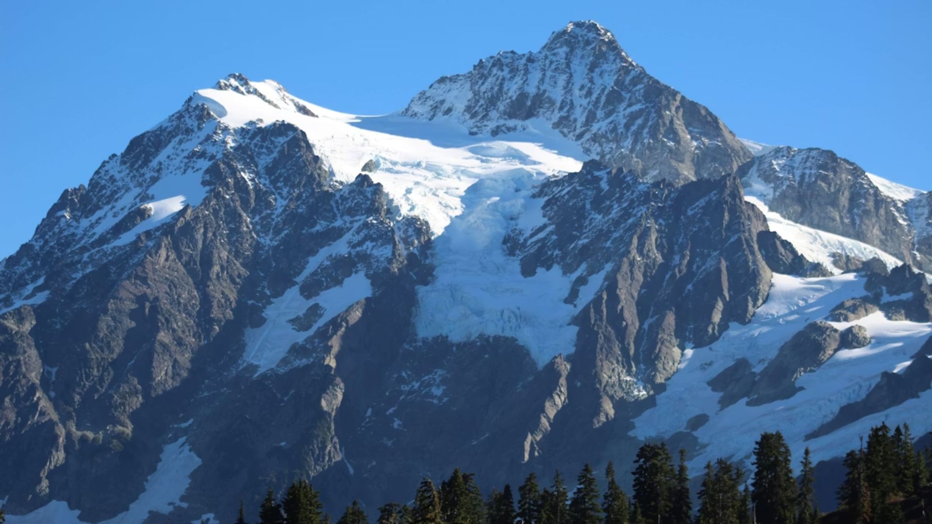
Mount Rainier and Mount Baker in Washington are tall enough to remain below freezing throughout the storms and could see more than 10 feet of snow at their summits. Minor to moderate winter weather impacts are predicted along major highways in Washington state as the storms pass through, but the snow line is expected to remain above 6,000 feet throughout much of the storm sequence. Blustery winds are anticipated, though none of the storms are predicted to generate damaging winds.
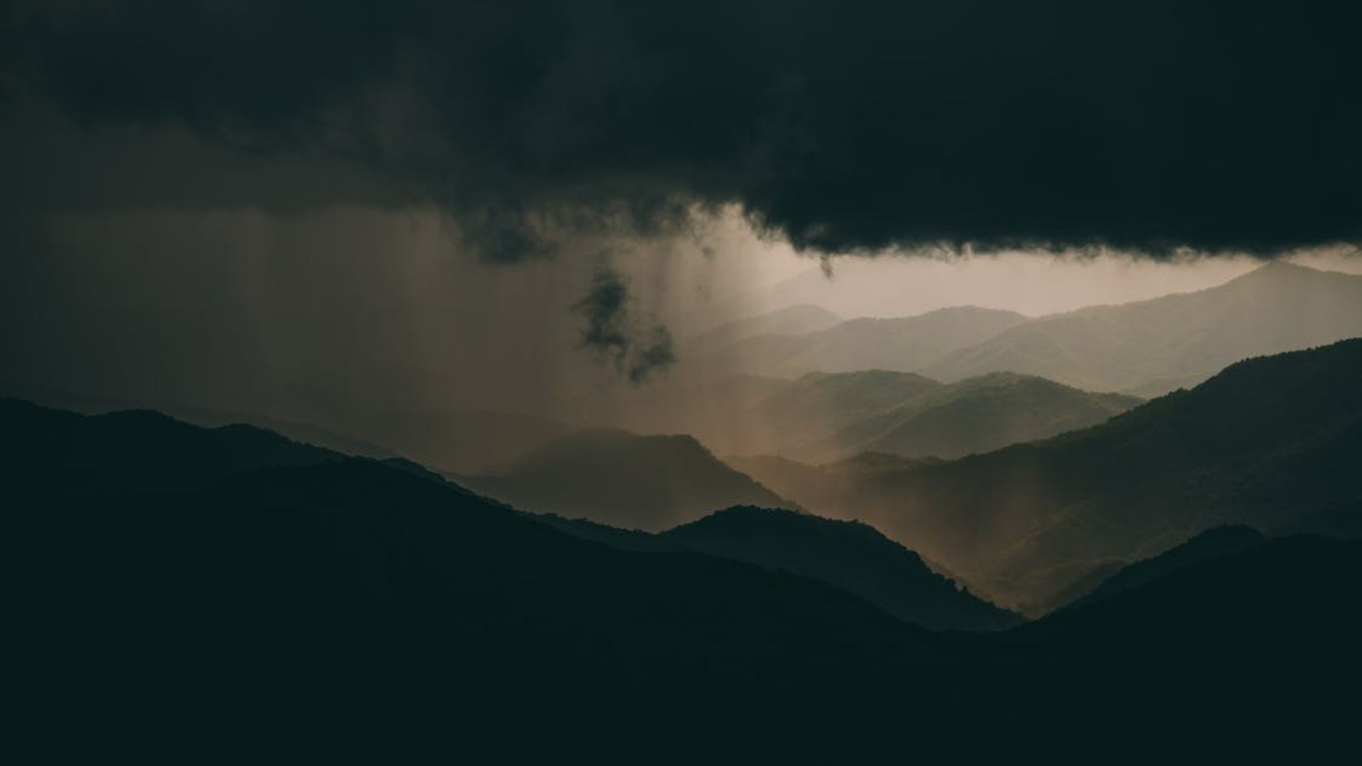
California Stays Mostly Dry Despite Nearby Storms

California’s Del Norte and Humboldt counties could get hit with passing showers from the storms, but rainfall totals are predicted to remain light. The high-pressure system blocking storms from reaching California leaves the state on the warm side of the moist air mass. Temperatures from San Francisco to Lake Tahoe could be 10 degrees or more above normal during the storm sequence. Elsewhere in Northern California, expect passing high clouds and rising temperatures as moisture from distant storms creates colorful sunrises and sunsets.
The Timing and Intensity of Each Storm

The first atmospheric river brings conditions that could extend for more than 72 hours as moisture pulses continue to make landfall. A second, shorter atmospheric river is expected to last less than 24 hours. The third and strongest atmospheric river will carry moisture values exceeding 1,000 kilograms per meter per second in its core. This final storm is predicted to deliver the heaviest precipitation totals of the sequence, with forecasters expecting 5 or more inches over the Cascades during its passage.
Record Precipitation Could Accumulate at High Elevations
Over the storm sequence, 15 to 20 inches of precipitation could accumulate at the highest elevations of the Pacific Northwest. The heaviest precipitation from the first atmospheric river is forecast over the Washington and Oregon Cascades, where the Weather Prediction Center is forecasting 2 to 4 inches for the 72 hours. The third atmospheric river could add another 5 or more inches over the Cascades in a separate 72-hour period.
A Pattern That Could Persist Into Next Week

The atmospheric pattern responsible for steering consecutive storms into the Pacific Northwest shows little sign of breaking down in the near term. Weather models indicate the high-pressure system off the California coast will remain in place, continuing to deflect Pacific moisture toward Washington and Oregon. While Northern California benefits from tranquil weather and dramatic skies created by high clouds from distant storms, the Pacific Northwest faces an extended period of wet conditions with multiple rivers at risk of flooding.