America’s Largest Underground Water Supply Is Steadily Running Dry
Stretching under eight states across the Great Plains, the Ogallala Aquifer holds more freshwater underground than any other system in the United States. It supplies roughly 30 percent of all irrigation water used across the country and supports about a fifth of U.S. agricultural output. For decades, water levels have been declining, and scientists warn the aquifer is losing water far faster than nature can put it back.
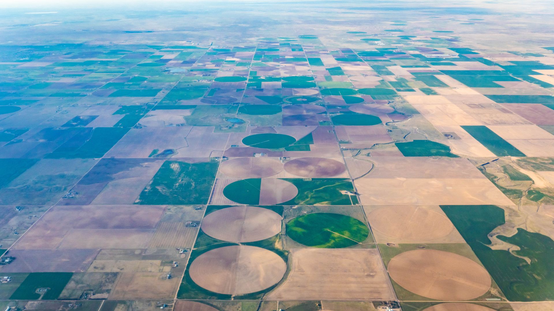
Decades of Pumping Have Left a Visible Mark
U.S. Geological Survey data shows water levels in parts of the aquifer have dropped by more than 200 feet since large-scale irrigation took hold in the mid-20th century. A NASA Earthdata analysis has mapped what researchers describe as the human footprint on the system, with the heaviest losses concentrated in heavily irrigated areas of Texas and Kansas, where pumping has reshaped groundwater storage across the region.
The Aquifer Refills Far Slower Than It Drains
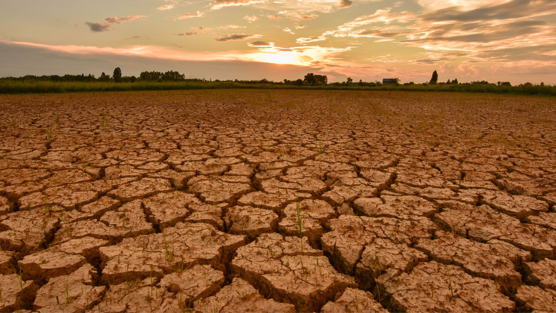
The Ogallala is often described as a fossil water source, formed thousands to millions of years ago. In much of the region, it recharges at less than an inch per year, far below the volume being drawn out for agriculture. NOAA has previously warned that the aquifer is drying out, and scientists say without significant changes to how the region manages water, that gap will only grow.
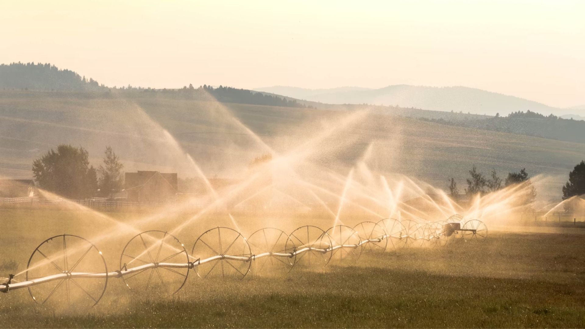
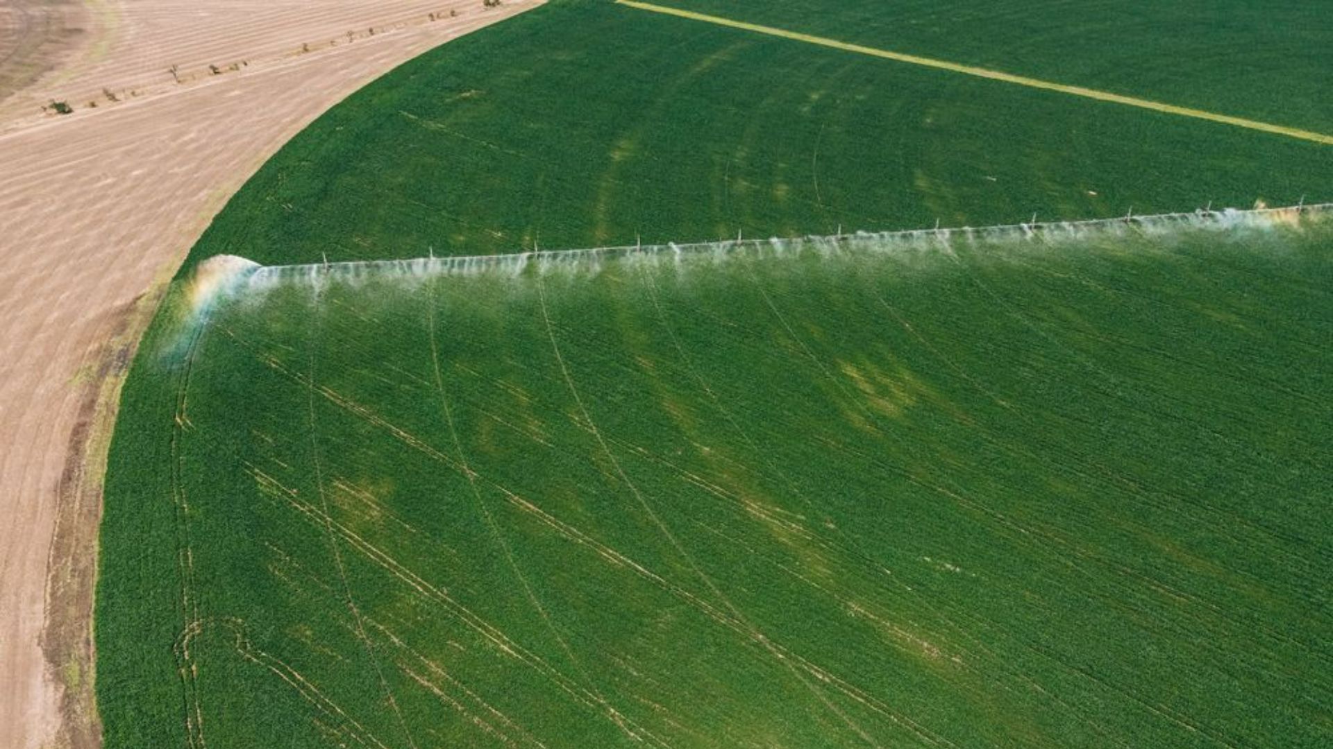
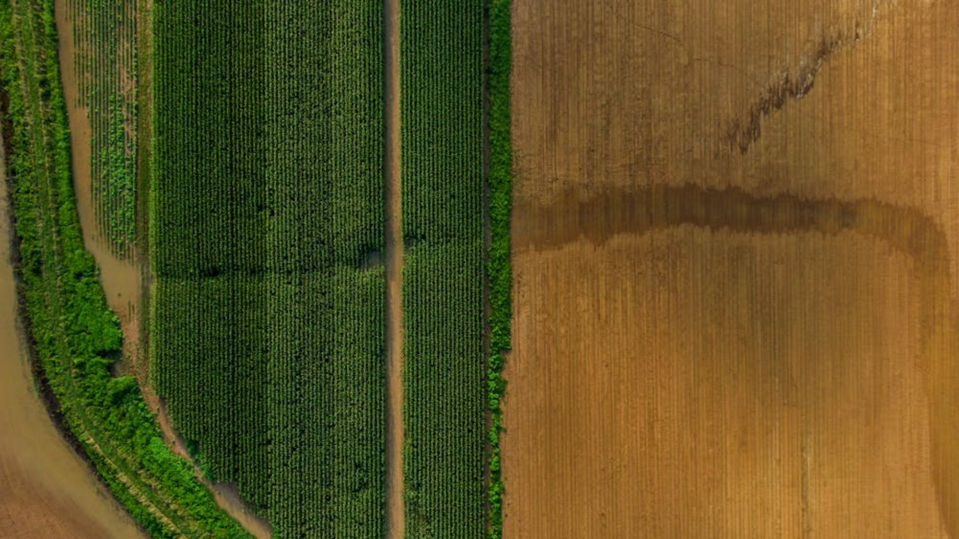
Corn, Wheat, and Cattle All Depend on It
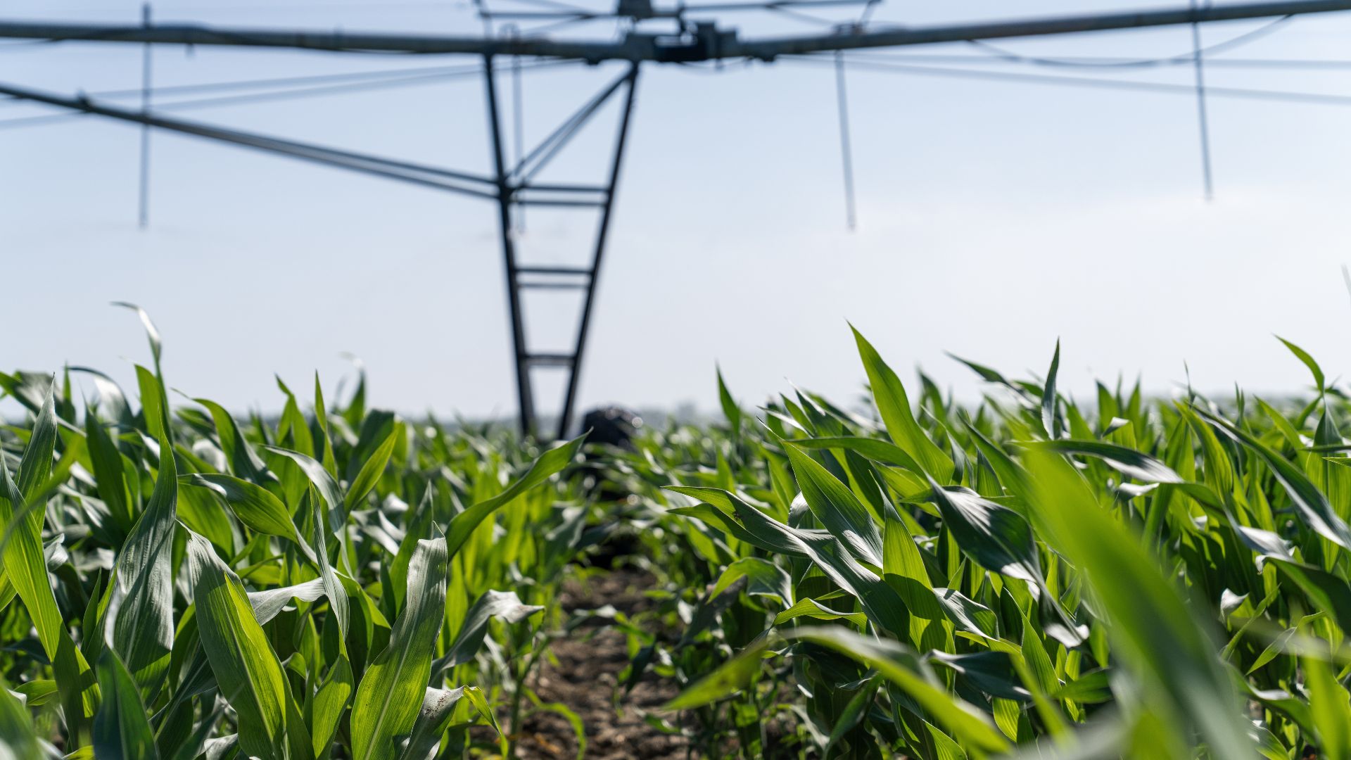
The Ogallala underpins one of the most productive farming regions in the world. Corn, wheat, cotton, and large-scale livestock operations all rely heavily on irrigation drawn from the aquifer. Much of the corn grown in the region feeds cattle, meaning disruptions in water access ripple through meat and dairy supply chains and can ultimately reach grocery store prices nationwide, according to Newsweek reporting on the aquifer’s decline.
Farmers Feel the Pressure, Even Before Fields Go Dry
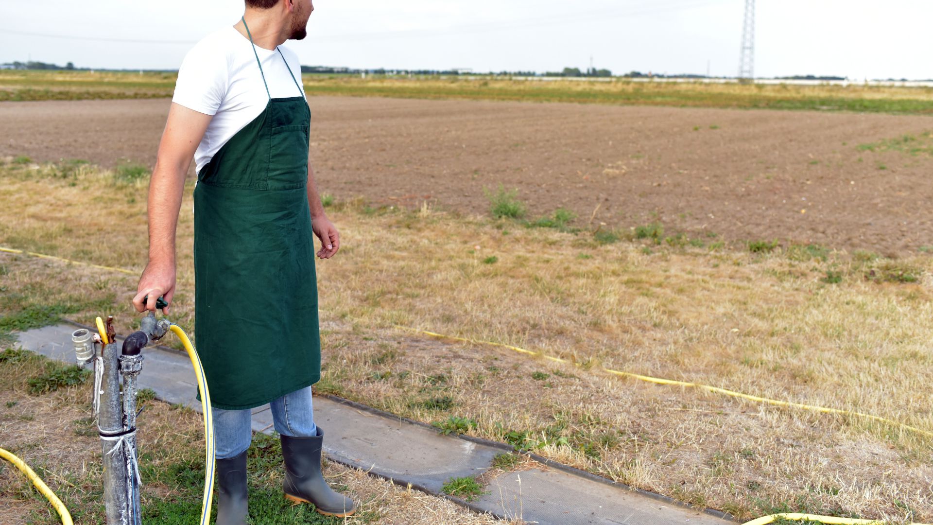
University of Manchester postdoctoral researcher Chris Bowden, who specializes in agricultural water management, told Newsweek that the effects are already visible in areas where use is highest. As water tables drop, the rate at which farmers can deliver water to their fields slows. Bowden noted that this gradual decline puts pressure on how much land they can effectively work.
Southwest Kansas Is Already Weighing Hard Cuts
In southwest Kansas, Groundwater Management District 3 is seeking farmer input on a plan to reduce irrigation water use by 27.7 percent over 20 years, aiming to stabilize the aquifer in the region. The proposal calls for a 5 percent annual reduction in pumping. The district faces a state deadline this July to demonstrate progress. If local districts don’t act, Kansas could mandate its own water-use reductions, according to the Topeka Capital-Journal.
Conservation Plans Are Dividing Farm Communities

More than 200 farmers turned out for a recent District 3 meeting in Plains, Kansas, many raising concerns that cuts based on historical usage unfairly penalize those who have already been conserving water for years. Roger Holmes, a longtime farmer in the area, noted that losing even a few inches of irrigation water can translate to a loss of 50 bushels of corn per acre, costing some farmers up to $200 per acre, per the Capital-Journal.
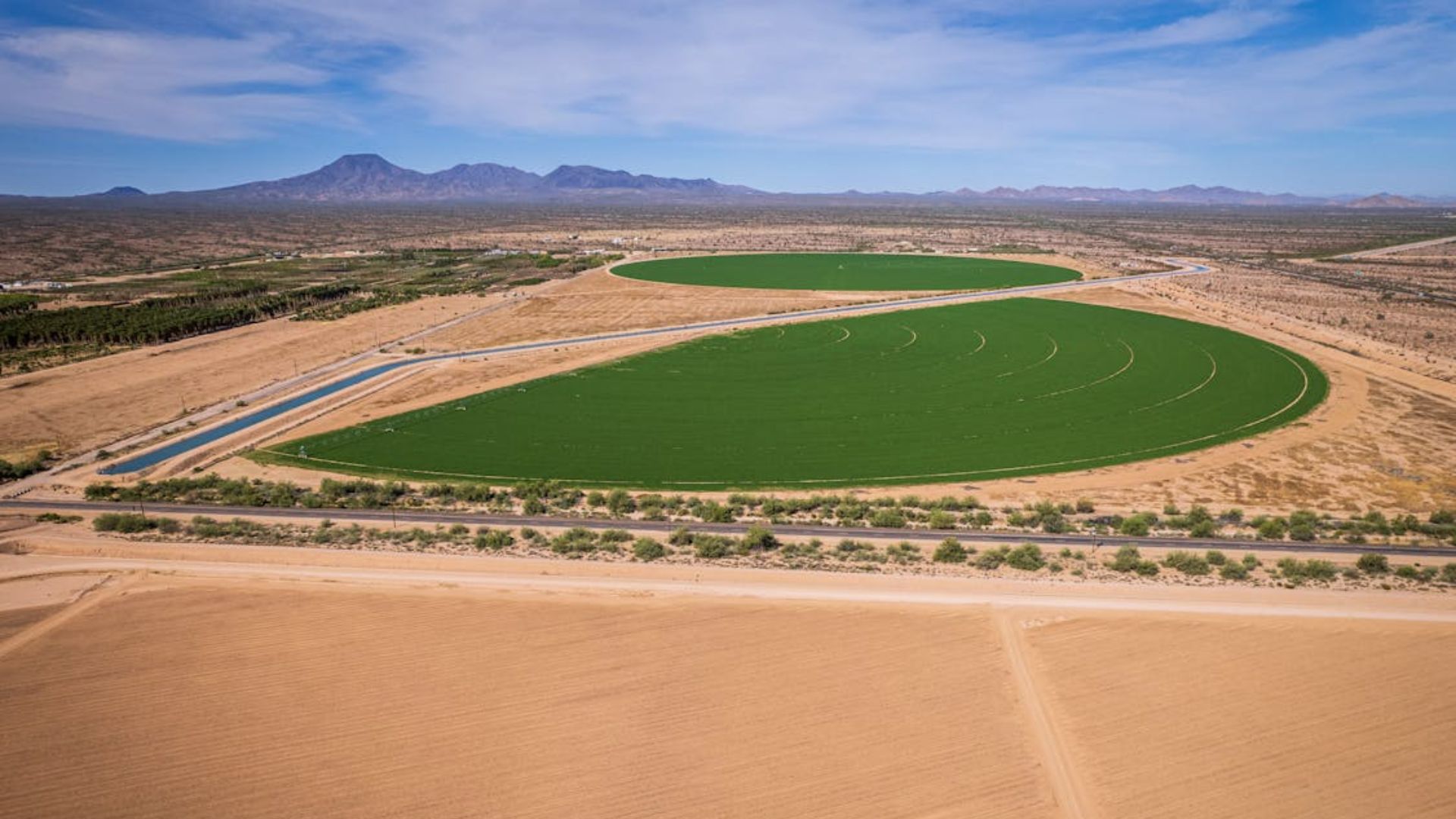
Depletion Could Reshape How the Plains Are Farmed
The long-term outlook for parts of the southern Ogallala is already drawing concern, with studies suggesting up to 40 percent of the aquifer could become unable to support irrigated farming within decades. Bowden told Newsweek the transition will likely be gradual, with farmers shifting more land to rain-fed production as irrigated acreage shrinks. That reduction in irrigated output, he noted, still means overall production falls, even if the fields that remain irrigated continue yielding well.
Less Irrigation Means Food Prices Become More Volatile

Bowden told Newsweek that irrigation has historically served as a buffer against drought, smoothing out crop losses that might otherwise cause sharp price swings. As groundwater becomes less accessible, that buffer weakens. Drought years that once had limited impact on yields could produce much larger disruptions, with price spikes becoming more frequent. The effects would extend well beyond the Plains, touching food costs across the country.
Better Data Could Be Key to What Comes Next
One major obstacle to managing the aquifer is the lack of reliable farm-level data on how much water is actually being used. Bowden is working on a project that combines satellite imagery with artificial intelligence to map irrigation patterns at scale, an approach he says could be applied to stressed systems like the Ogallala. Without that visibility, he told Newsweek, even well-designed conservation policies are difficult to enforce in practice.