Satellites Catch a 650-Foot Tsunami in Greenland That Shook the Planet for Days
High above Greenland’s fjords, satellites watch quietly as ice, rock, and water rearrange themselves in real time. That steady observation now frames a moment when a remote collapse sent energy rippling far beyond the Arctic. The event reads less like a sudden disaster and more like a slow revelation that unfolded over days.
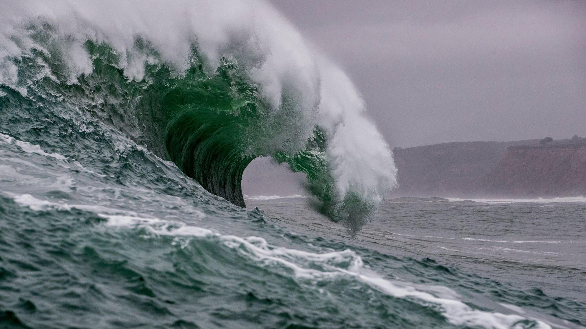
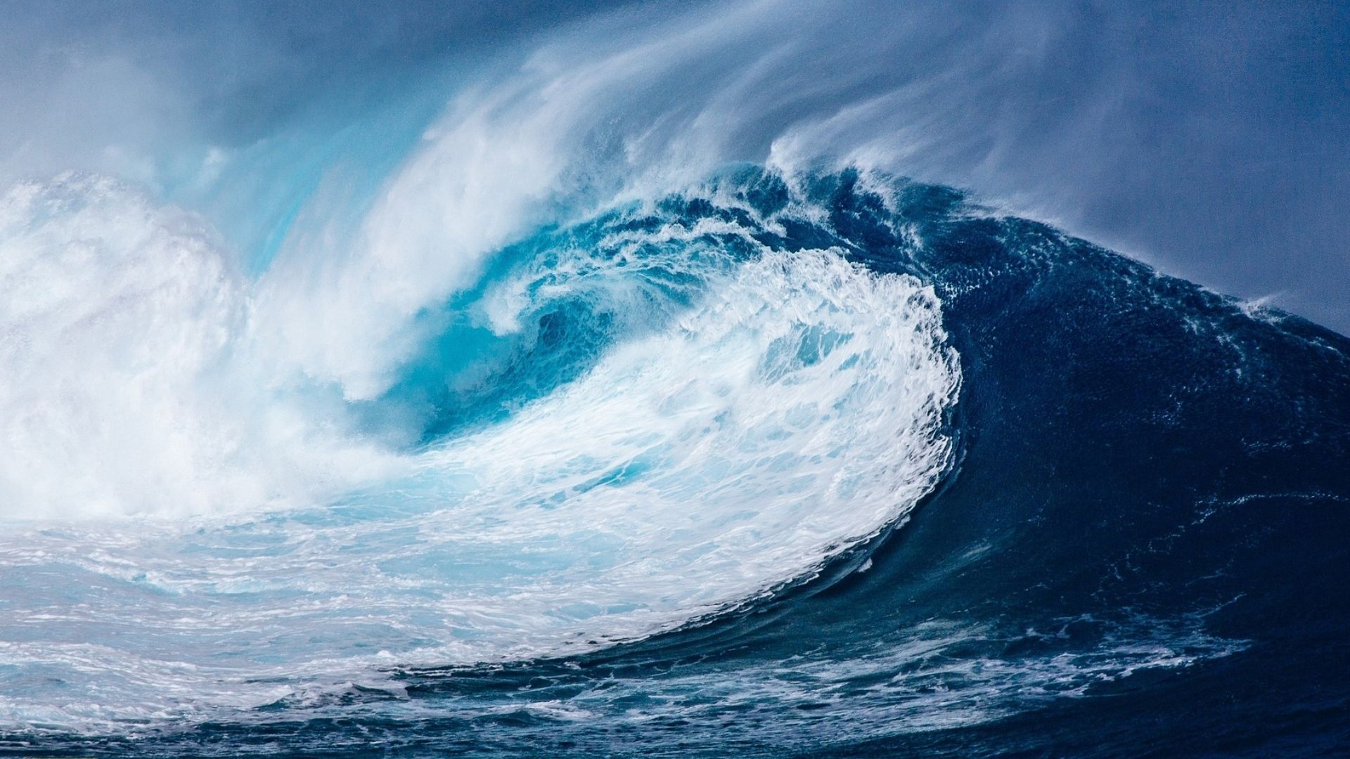
In September 2023, a mountainside gave way and poured into a narrow fjord, and with that motion came a wave that climbed roughly 650 feet. As the water surged and rebounded between steep walls, the movement settled into a repeating rhythm. That rhythm then pressed into the seafloor, and from that contact the planet itself began to hum. Seismic stations far from Greenland recorded a steady pulse that rose and fell with clocklike regularity.
Satellite instruments soon clarified what ground sensors could not see. Radar measurements traced subtle changes in the fjord’s surface, and those patterns matched the timing of the global vibration. Together, the space-based view and the seismic record connected water motion to planetary response. The picture that emerged feels unfamiliar, yet it speaks plainly about how local collapse can echo across the Earth.
Satellite Measurements Link Fjord Waves to Global Seismic Signals
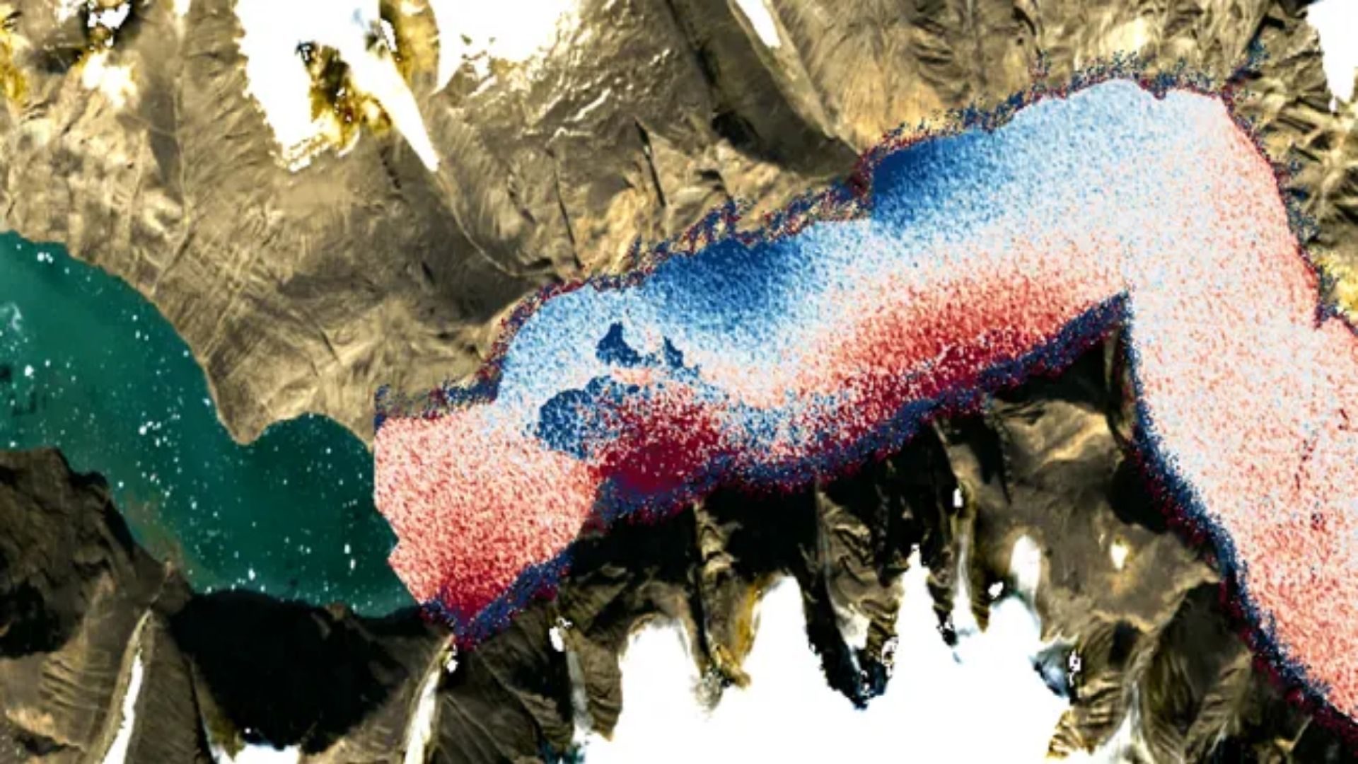
Satellites offered the first clear view of how water motion inside a narrow Greenland fjord connected to vibrations felt across the planet. After a massive landslide struck Dickson Fjord, radar instruments tracked subtle rises and dips across the water surface. Those changes lined up in time, and the pattern pointed toward a repeating slosh contained by steep rock walls.
That sloshing formed a standing wave known as a seiche, and the motion kept returning with steady timing. As the water pressed back and forth against the fjord floor, energy moved into the ground below. Seismic stations then picked up evenly spaced signals that lacked the sharp spikes tied to earthquakes. The smooth rhythm suggested horizontal force rather than a sudden break.
The Surface Water and Ocean Topography satellite clarified the link between water movement and ground response. Its radar altimetry mapped surface tilt across the fjord hours after the landslide. That tilt matched the timing recorded by seismic networks thousands of miles away. Together, satellite data and ground sensors traced a direct line from fjord waves to a signal that traveled through the Earth for days.
Arctic Slope Instability Under Rapid Ice Loss
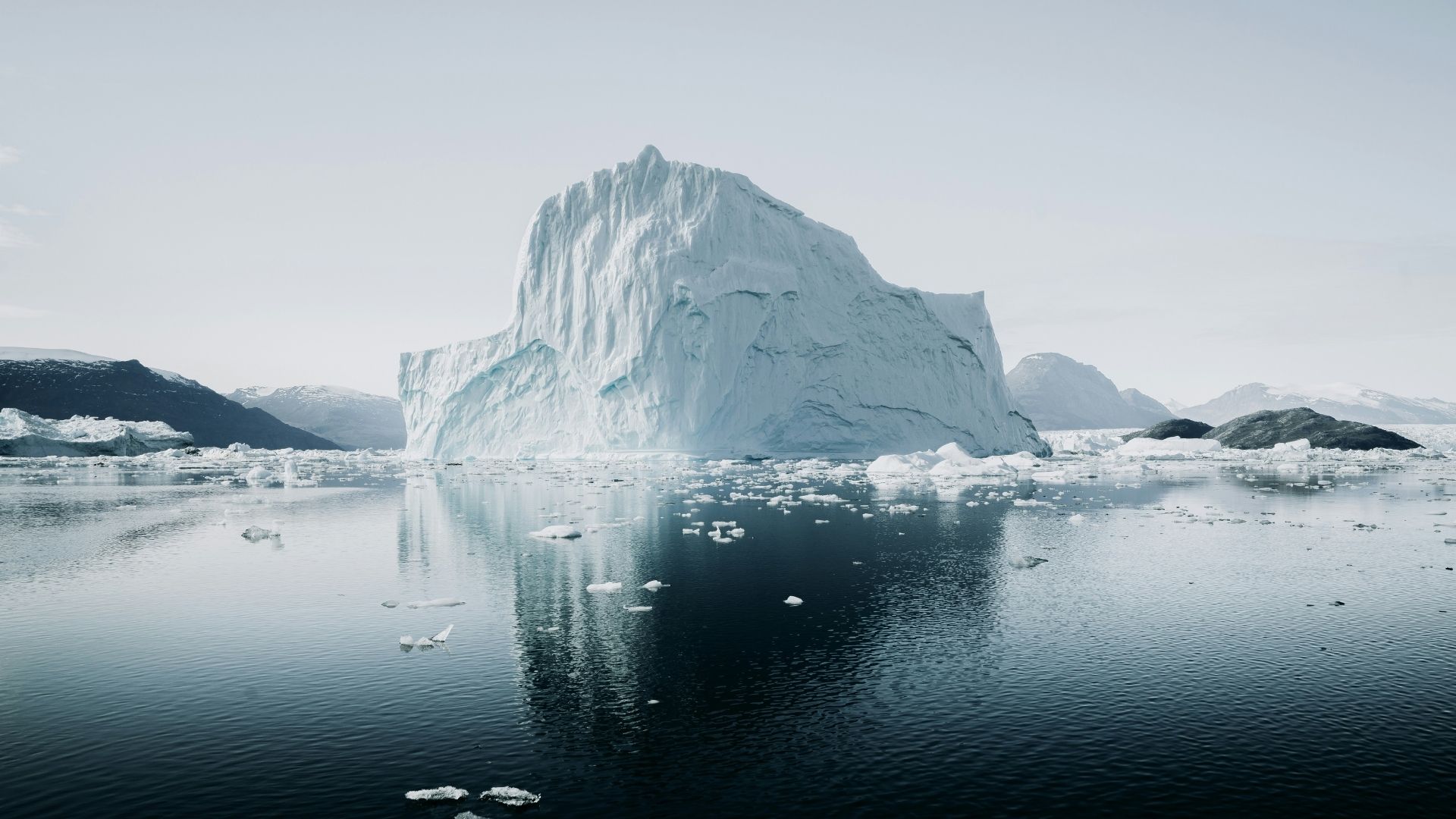
Ice once pressed against the steep walls above Dickson Fjord, and that pressure helped hold fractured rock in place. As temperatures rose across the Arctic, glaciers pulled back and left exposed slopes hanging over deep water. With less support, gravity gained more influence, and small cracks began to widen over time.
Field surveys later spotted fresh scars high above the fjord, and those marks aligned with the timing of the landslides. Meltwater likely seeped into fractures, and freeze thaw cycles added further stress to already weakened rock. Each of those factors pushed the slope closer to failure, and the collapse followed a path shaped by long term ice retreat.
Similar conditions have appeared elsewhere in Greenland, and past events show how quickly slope failure can turn destructive. A 2017 landslide in Karrat Fjord sent a tsunami into a coastal settlement with deadly force. The Dickson Fjord collapse fits within that same pattern, where retreating ice leaves steep terrain exposed above narrow inlets. The physical setting allows falling rock to transfer energy directly into water and ground within moments.
Monitoring a Planet That Responds in Real Time
Events like the Dickson Fjord tsunami now change how scientists watch the planet. Satellite systems and seismic networks no longer sit in separate lanes, and instead they speak to each other through shared timing and motion. That connection allows researchers to trace how energy moves from surface water into solid ground with growing clarity.
As more satellites scan polar regions, patterns that once passed unnoticed begin to stand out. Repeating water motion, subtle surface tilts, and long-period seismic signals can now register together. Over time, that combined record builds a clearer sense of where similar conditions exist. Those signals arrive quietly, yet they carry early clues about instability in remote terrain.
Looking ahead, researchers expect more attention on narrow fjords where steep slopes meet deep water. Each new dataset sharpens how these places behave under warming conditions. That steady stream of observation turns isolated events into readable processes. In that sense, the Greenland tsunami did more than send waves through water and rock. It revealed how closely linked the surface and the interior of the Earth have become under constant watch.