New Map Reveals Antarctica’s Hidden Landscape in Unprecedented Detail
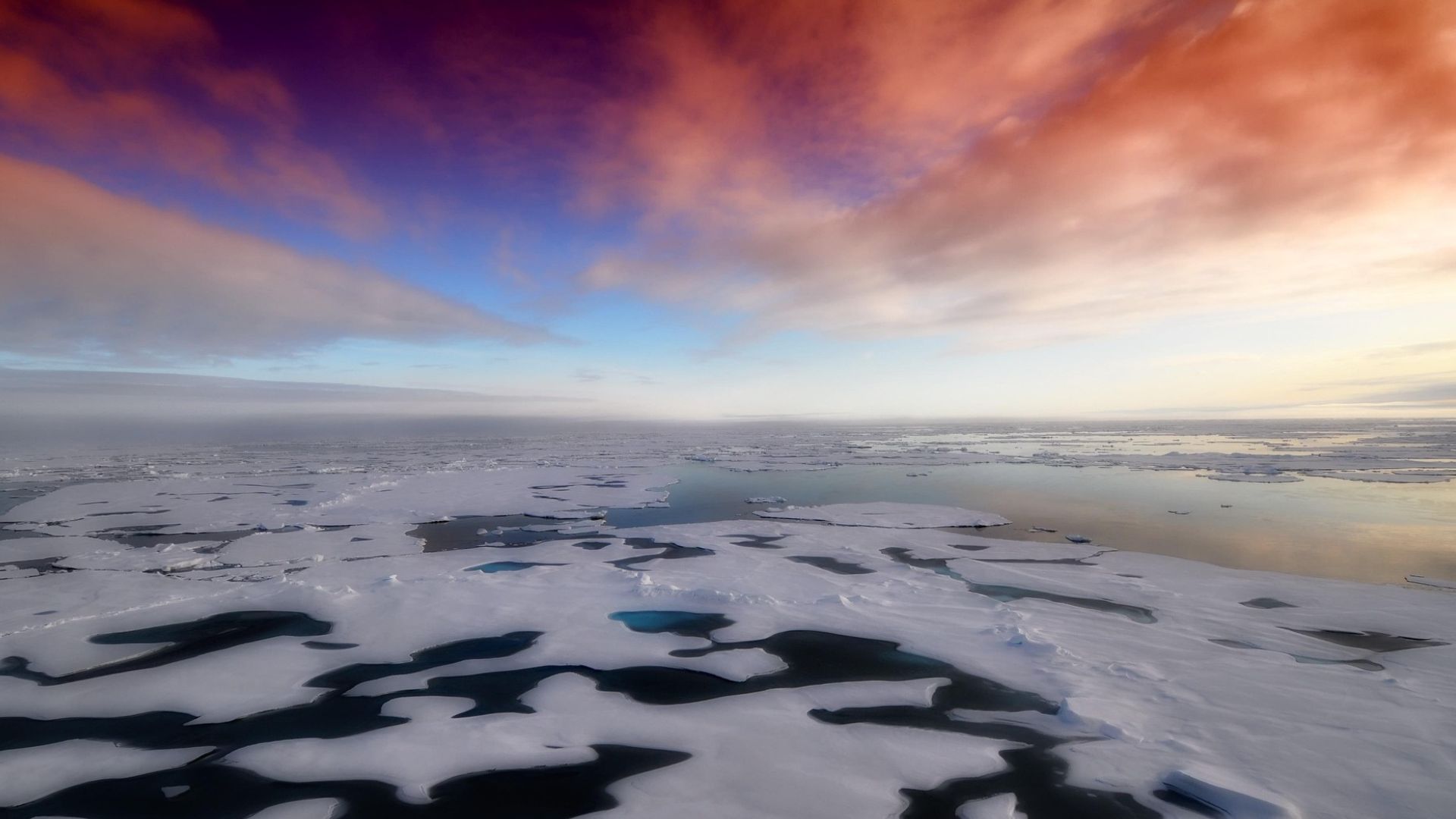
Antarctica has long been defined by what can be seen on its surface, vast ice sheets, extreme cold, and an apparent emptiness that hides a far more complex reality below. A newly developed map is now offering scientists their most detailed view yet of the landscape buried beneath the ice, revealing a hidden world of ridges, hills, and deep channels that had never been fully documented before.
This breakthrough was made possible by combining high-resolution satellite observations with physical models that explain how glaciers move across the continent. By analyzing subtle changes in ice flow and surface shape, researchers were able to infer the contours of the bedrock below, even in areas where direct measurements have never been taken.
The result is a map that transforms a once fragmented picture into a coherent whole. For the first time, scientists can examine the underlying structure of Antarctica almost as a continuous surface, rather than as isolated strips of data separated by large gaps.
Why the ground beneath the ice matters

Understanding what lies beneath Antarctica’s ice is not just a matter of curiosity. The shape of the bedrock plays a crucial role in how glaciers behave, influencing how fast they flow and how they respond to rising temperatures. Until now, much of this information came from radar surveys flown along narrow paths, sometimes tens of kilometers apart, leaving large areas open to interpretation.
With the new approach, those gaps are significantly reduced. By reading the surface clues left by flowing ice, scientists can detect buried mountains, valleys, and ridges with far greater confidence. In many regions, these features appear sharper and more numerous than previously thought, suggesting a far more rugged terrain under the ice sheet.
This improved clarity allows researchers to move beyond educated guesses. Instead, they can work with a more realistic representation of the continent’s foundation, something that is essential for building reliable models of ice movement and long-term change.
Unexpected discoveries beneath Antarctica
Among the most striking findings is the identification of tens of thousands of previously unknown hills and ridges spread across the continent. These features, invisible from the surface, help explain variations in glacier speed and direction that had puzzled scientists for years.
One particularly notable discovery is a long, deeply carved channel hidden within the Maud Subglacial Basin. Stretching for hundreds of kilometers and several kilometers wide, this feature hints at ancient geological processes that shaped Antarctica long before it was covered in ice. Its presence also affects how ice moves above it, making it a key element in regional glacier dynamics.
These revelations have given researchers a sense of exploring a new world, similar to the first detailed maps of other planets. Each newly identified feature adds context, showing that Antarctica’s hidden landscape is as diverse and complex as many ice-free regions on Earth.
What this means for climate science
While the map represents a major step forward, scientists are careful to note that it is not the final word. The method relies on assumptions about ice behavior, and uncertainties remain, particularly regarding the composition of rocks and sediments beneath the ice. Even so, the scientific community widely agrees that this work fills critical knowledge gaps.
A more complete picture of Antarctica’s subglacial terrain directly improves climate models. Since bedrock features control how quickly glaciers can slide and retreat, better maps lead to more accurate predictions of future ice loss. This is especially important because Antarctica’s contribution to sea-level rise remains one of the largest uncertainties in climate science.
By revealing what lies beneath the ice with unprecedented detail, this new map offers researchers a stronger foundation for understanding how Antarctica may change in a warming world, and how those changes could affect coastlines across the globe.