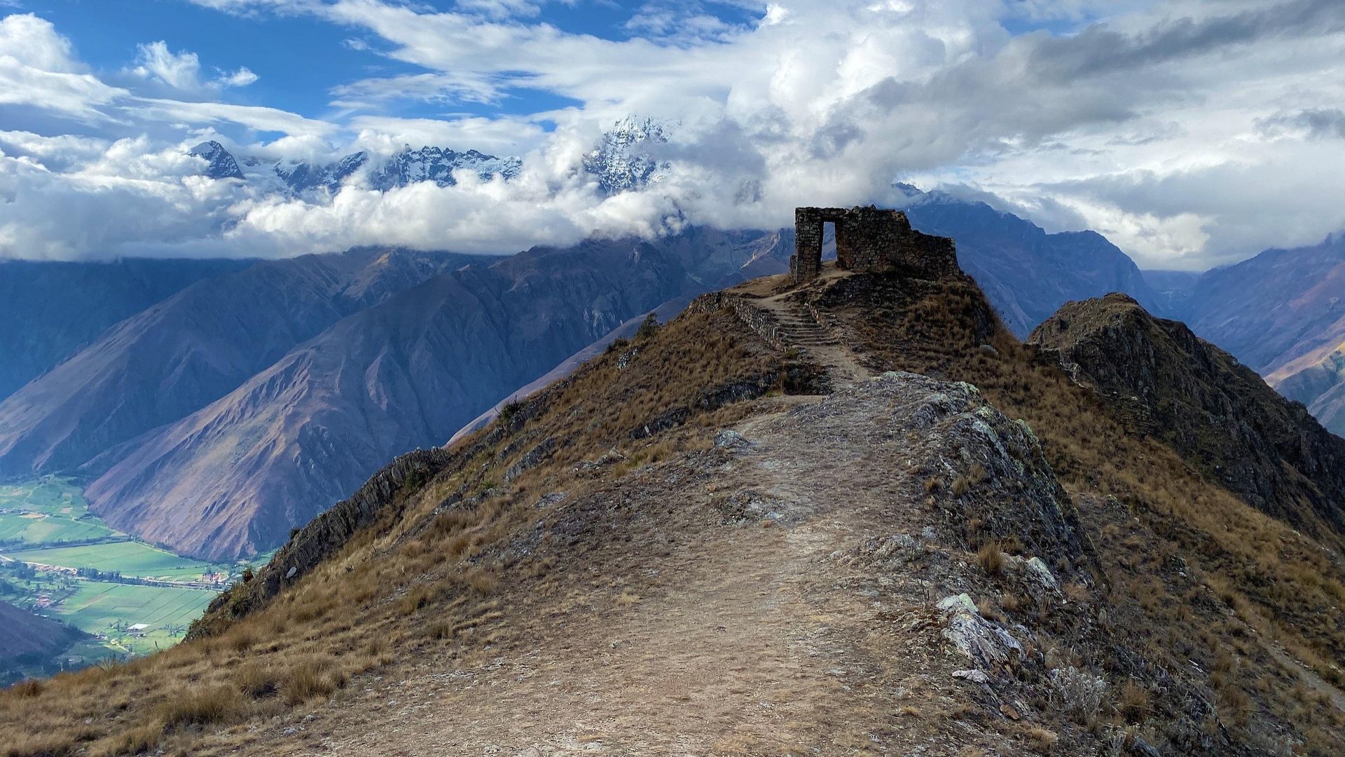
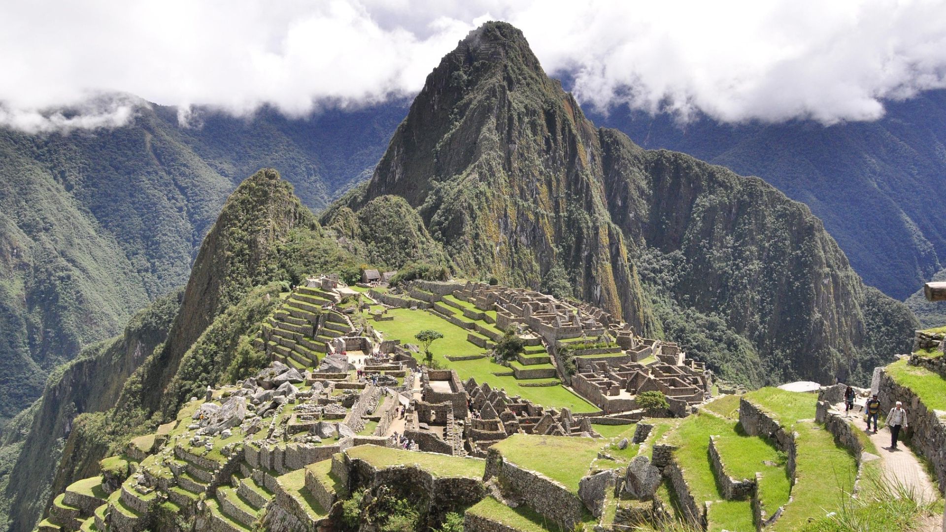
There are thousands of aligned holes in Peru – Archaeologists now think they know why
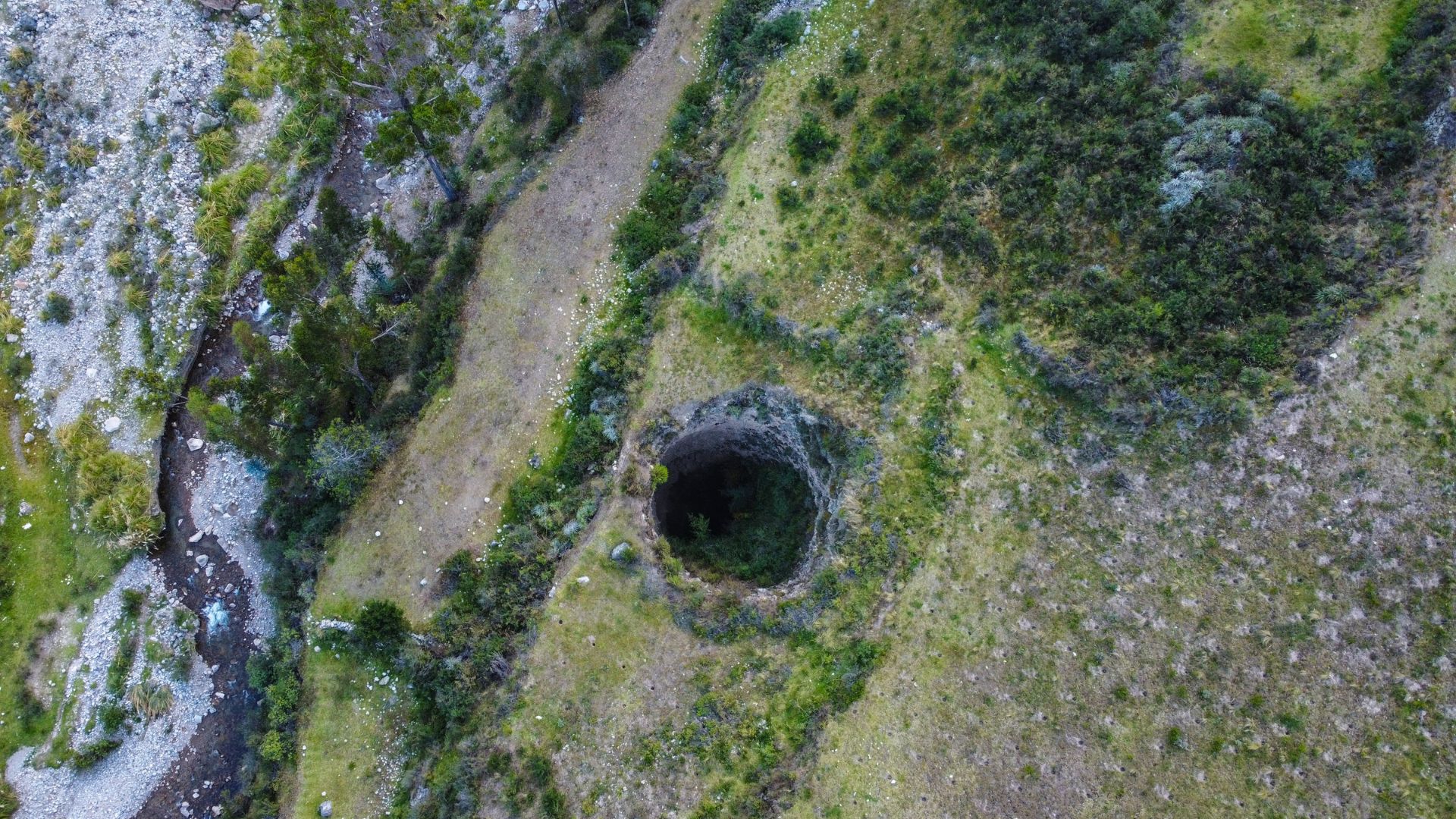
A mysterious ribbon of roughly 5,200 aligned pits, running about 1.5 kilometers across the Pisco Valley in southern Peru, has puzzled researchers for almost a century. New drone imagery and microbotanical analysis are offering a clearer picture of how this landscape was used by pre-Inca and Inca communities, transforming speculation into testable hypotheses.
A puzzle visible from above

Aerial photographs first drew attention to the feature in the 1930s, yet the scale of the site made on-the-ground study difficult. Modern drones have changed that, revealing patterns and separations that were previously invisible to researchers.
Measuring the features
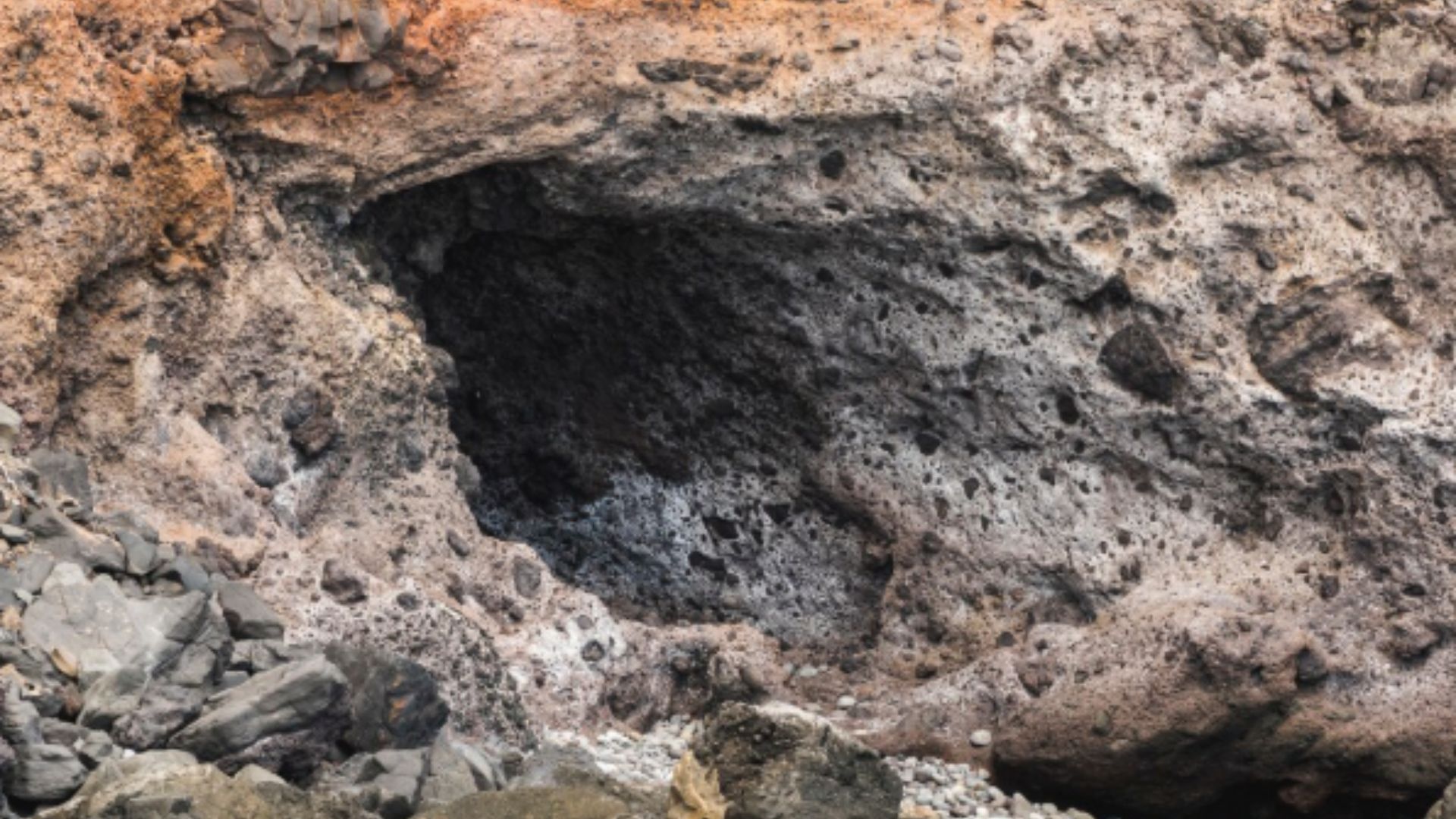
Each depression measures about 1 to 2 meters across and 0.5 to 1 meter deep, forming sections rather than a continuous field. These dimensions suggest deliberate design, not random digging.
Patterns that suggest order
The site divides into roughly 60 groups, with repeating row structures and alternating counts in some sectors. Such repetition points to an organized system, rather than natural erosion or haphazard activity.
Plant traces as witnesses

Microscopic pollen recovered from inside the pits includes maize and wild plants like reeds and willow, species historically linked to baskets and storage. These botanical clues indicate practical, not purely ceremonial, uses.
Baskets and goods, not aliens

Rather than exotic explanations, the evidence supports human economic activity. Baskets lined with plant material could have held crops or commodities placed into the pits for temporary storage or display.
A marketplace across time
The research team proposes that Monte Sierpe first served as a regional exchange area, where coastal and highland groups bartered goods such as cotton, coca, maize, and chili, each item accounted for by space in the field of pits.
From marketplace to accounting tool
Later, the Incas may have repurposed the site as a large-scale counting system. The segmented layout echoes numeric recordkeeping known from knotted strings, suggesting the pits functioned as a physical ledger.
Dating the activity
Preliminary radiocarbon results place use of the site roughly 600 to 700 years ago, within the Late Intermediate Period and into Inca times. Colonial-era pollen hints that some activity continued after the Spanish conquest.
A landscape with stories left to read
Monte Sierpe is a modified terrain carrying layers of social and economic meaning. New methods like drone mapping and microbotanical analysis are finally letting archaeologists read parts of that story, while questions about construction sequence and exact functions remain open for further study.