What a Super El Niño Really Means for Weather, Prices and Health
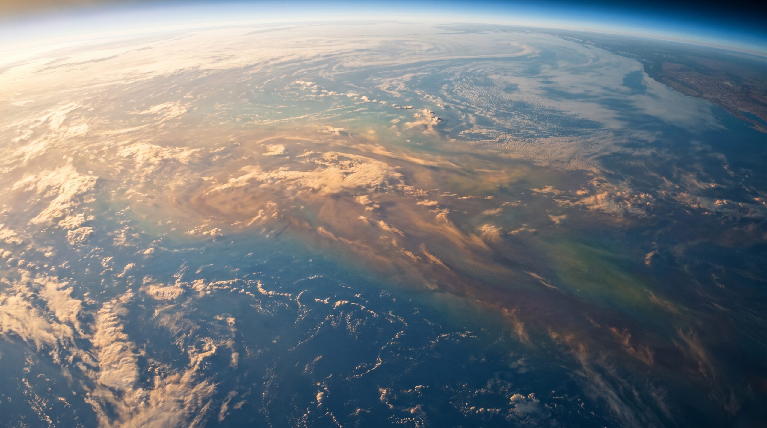

El Niño returns every few years when part of the tropical Pacific Ocean warms and shifts global weather patterns. This time, forecasters say the event has grown strong enough to earn the unofficial label “super,” a tier reached only a handful of times since record keeping began. Most people know El Niño for wetter winters in some regions and drier ones elsewhere. But a super El Niño reaches far beyond rain and snow forecasts. It can quietly touch global shipping, city heat waves, disaster planning and household bills in ways that rarely make headlines. Here are ten things worth understanding about this event.
This article was created with the assistance of AI and reviewed by our editorial team for accuracy and clarity.
How Scientists Decide an El Niño Is Super
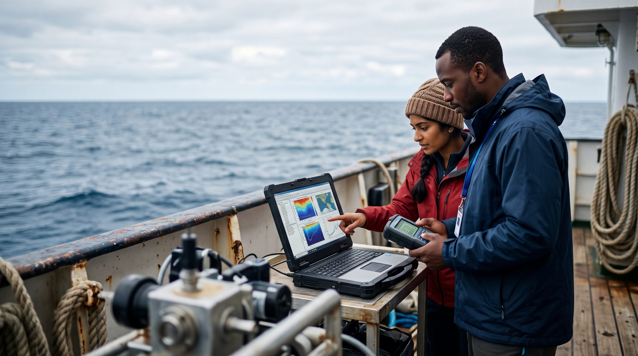
Meteorologists track El Niño strength using a measurement of how much warmer than average the surface water is in a key stretch of the central Pacific Ocean. When that reading climbs about two degrees Celsius above normal, the event crosses into “very strong” territory, the highest official category. That threshold is when forecasters informally start calling it a super El Niño. Only a few events, including ones in the late 1990s and mid 2020s, have reached this level. The stronger the reading, the more likely the ripple effects reach farther across the globe, though nothing about the outcome is guaranteed.
One Unexpected Perk Could Be Lower Heating Bills

Not every side effect of a super El Niño is bad news. The pattern often pushes milder air into the Northern Hemisphere during winter months, which can reduce how much energy households need for heating. Lower heating demand can translate into modest savings on utility bills for many families, especially in regions that typically see harsh winter cold. Energy analysts watch these seasonal shifts closely because they can influence natural gas and electricity markets well beyond the households actually feeling the milder temperatures. It is one of the few effects of this climate pattern that tends to land as a genuine bright spot.
A Global Shipping Route Faces Added Strain
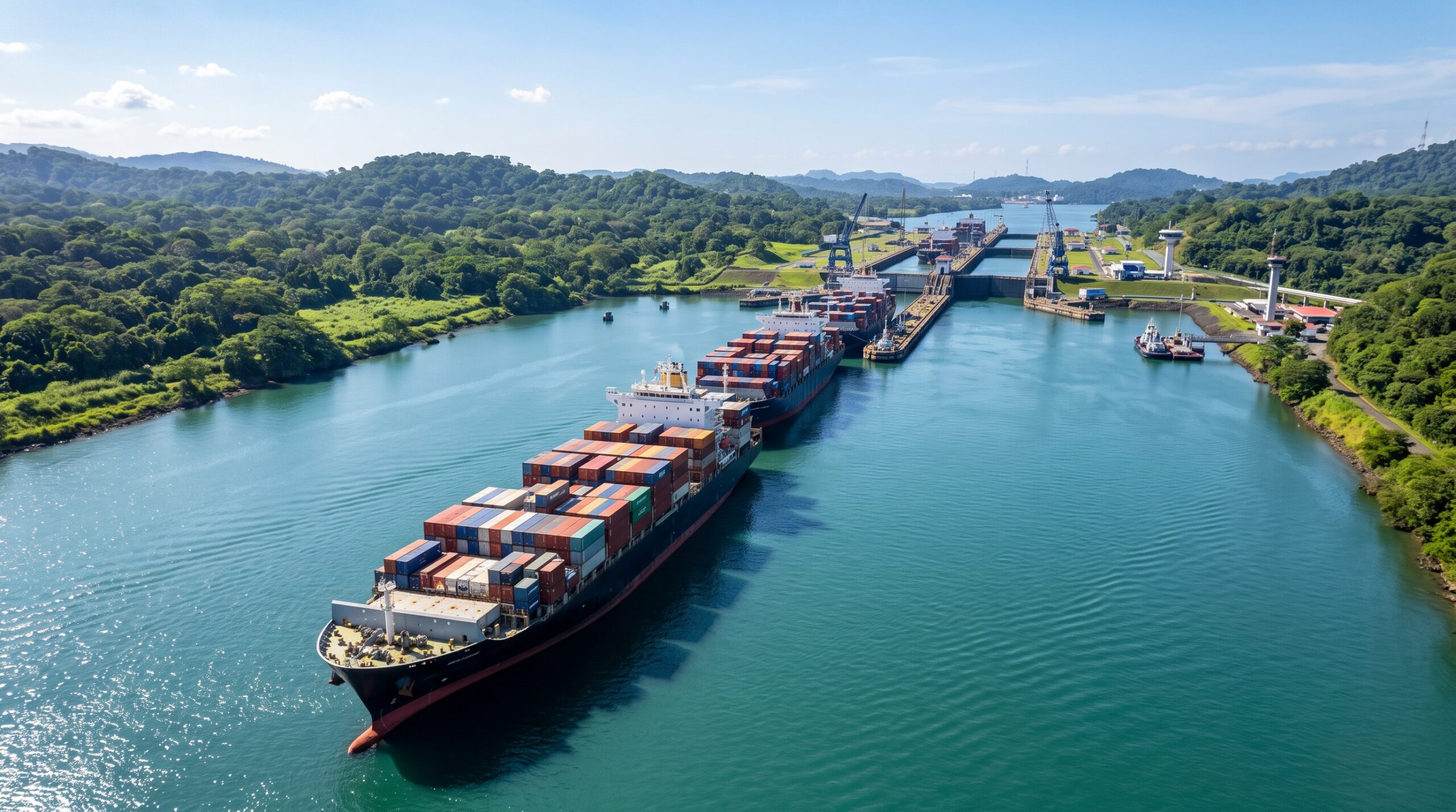
El Niño’s influence on rainfall can hit an unlikely target: the Panama Canal. The canal relies on freshwater lakes to operate its locks, and water levels there were already running low before this event. A strong El Niño tends to reduce rainfall in the region, which can push levels down further. In past El Niño years, canal authorities have had to limit how many ships pass through each day. Fewer transits can mean longer waits and higher shipping costs, effects that ultimately reach store shelves far from Central America since the canal handles a significant share of global trade.
Cities Face a Hidden Rise in Heat Danger

Warmer global temperatures linked to El Niño can be especially dangerous in urban areas. Researchers who study climate and public health note that exposure to extreme urban heat has climbed sharply since the early 1980s, now affecting well over a billion people worldwide. Many heat related deaths actually happen indoors, often among people who own air conditioning but cannot afford to run it during repeated heat waves. That distinction matters for public policy. Experts suggest cities plan ahead by funding cooling centers and offering energy bill assistance so residents can safely cool their homes during the hottest stretches.
Emergency Systems Are Not Built for This
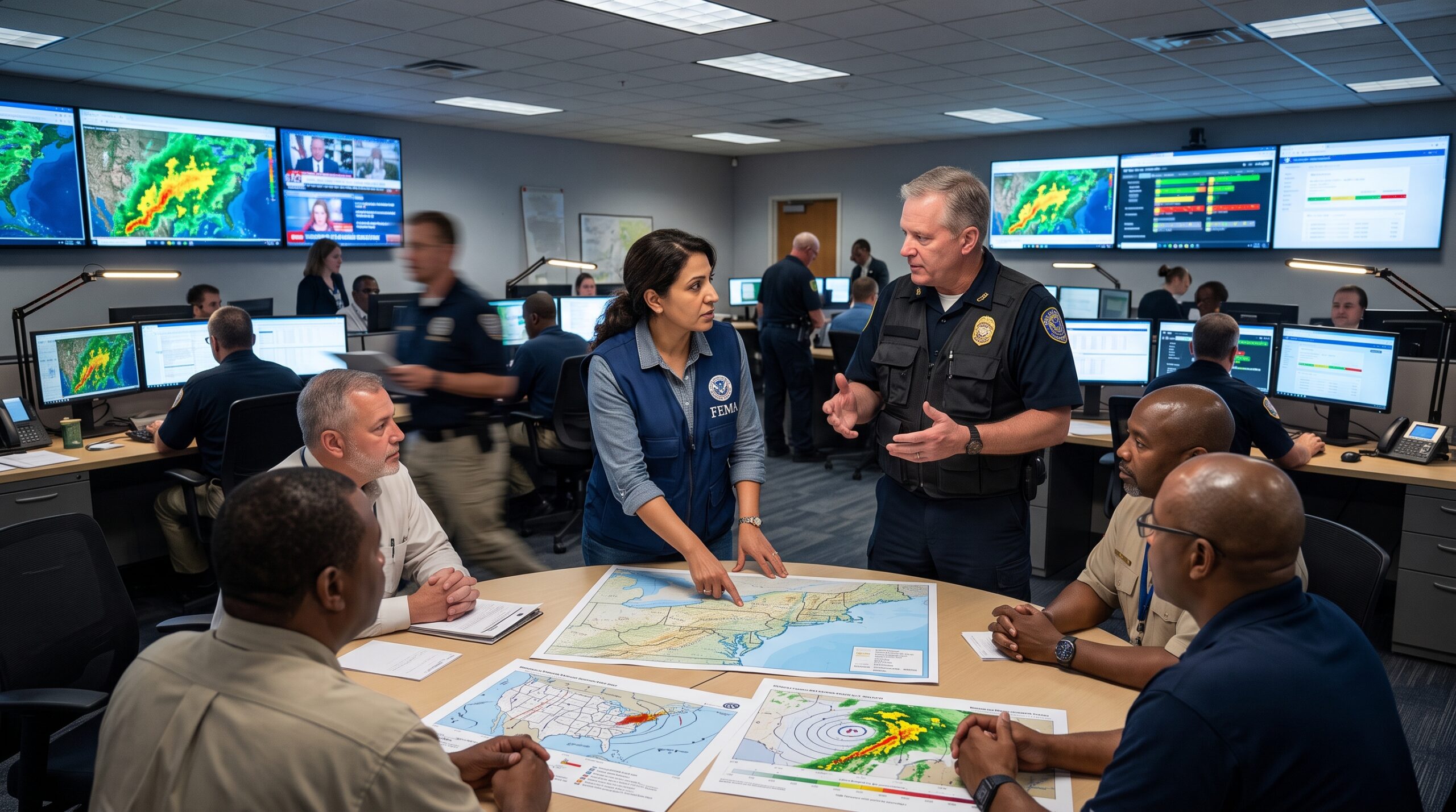
Disaster response in many countries is generally designed around handling one crisis at a time. A powerful El Niño complicates that assumption because it can trigger flooding, drought, heat waves and storms in different regions simultaneously, sometimes on overlapping timelines. Preparedness experts warn this creates competition for the same emergency resources, personnel and funding across multiple disaster zones at once. Because El Niño forecasts arrive months in advance, some specialists argue that emergency systems should shift toward proactive funding rather than waiting to react after damage occurs. That shift, they say, remains one of the harder changes to implement.
Hurricane Risk Shifts From One Ocean to Another
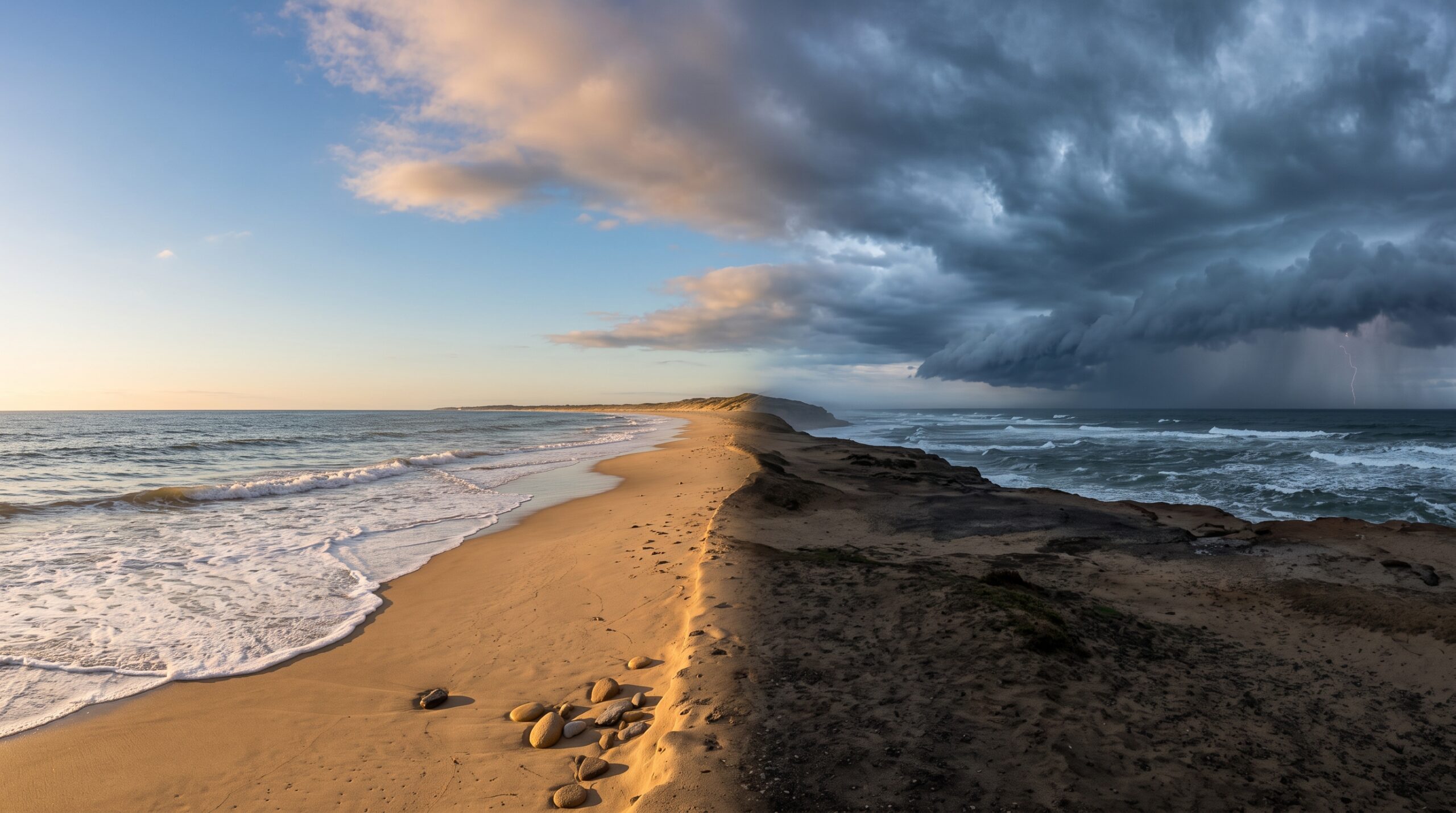
A strong El Niño tends to rearrange hurricane activity rather than simply increasing or decreasing it everywhere. Wind patterns associated with the event typically create more disruptive wind shear over the Atlantic, which can suppress storm formation and lead to a quieter Atlantic hurricane season. At the same time, conditions often become more favorable for storms in the Pacific, raising the risk of cyclones and typhoons for places like Hawaii and Guam. So while the Gulf Coast and Eastern United States may catch a break, communities on the other side of the ocean basin often see the opposite trend.
The Rainfall Now Can Fuel Fires Later
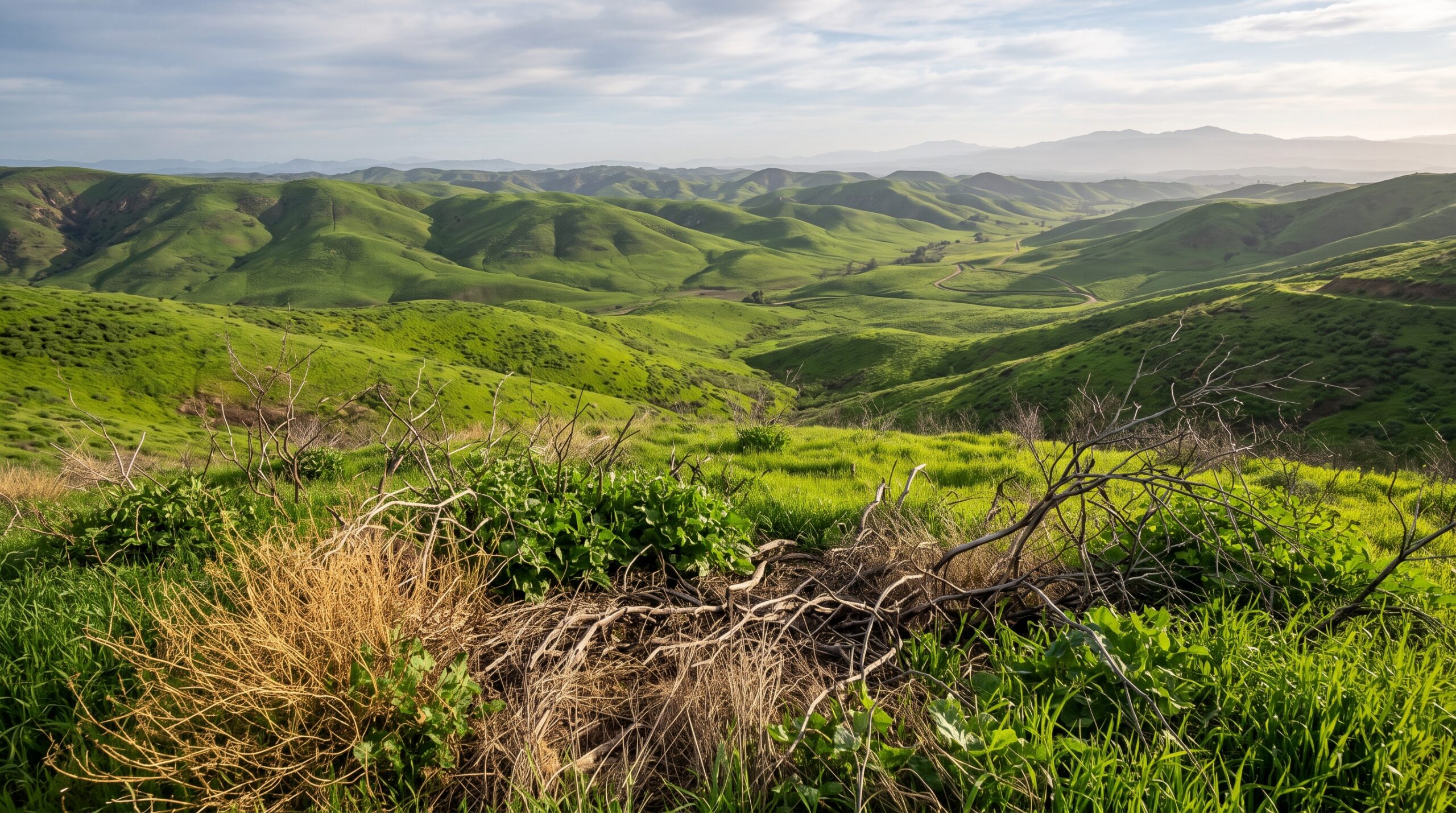
El Niño’s heavy rains can create a delayed wildfire risk that shows up long after the storms pass. Extra precipitation often boosts vegetation growth across drought prone landscapes. Once that vegetation dries out in the following months or years, it can become abundant fuel for wildfires. Combined with the broader warming trend El Niño adds to global temperatures, some regions face an elevated fire risk that lingers well past the event itself. This is one reason officials in fire prone areas track El Niño forecasts closely, even when the storms it brings look purely beneficial in the short term.
Everyday Grocery Prices Can Feel the Impact

El Niño’s disruption of rainfall patterns across Southeast Asia, South America and parts of Africa can affect crops that many households rely on daily, including coffee and cocoa. Drought conditions in major growing regions can reduce harvests, tightening global supply. When supply drops while demand stays steady, prices for these commodities often climb on international markets, a change that eventually shows up in grocery store prices. This is one of the clearest examples of how a climate pattern originating in the ocean can quietly work its way into a household budget, often without shoppers realizing the connection.
The Bigger Picture Behind This Year’s Event

A super El Niño is more than a forecast for wetter or drier weather. It can reshape global shipping costs, strain emergency response systems, shift hurricane risk between oceans, and even influence what people pay for coffee. Some effects, like milder winters, bring modest relief. Others, like compounding disasters or intensified urban heat, demand more attention from planners and policymakers. Because El Niño events are forecast months ahead, the biggest takeaway from experts is that preparation matters. Understanding these lesser known ripple effects helps communities, businesses and households get ahead of a pattern that reaches far beyond the sky.