Meteorologist Says Incoming Storm May Intensify as ‘Chain Reaction’ Weather Builds
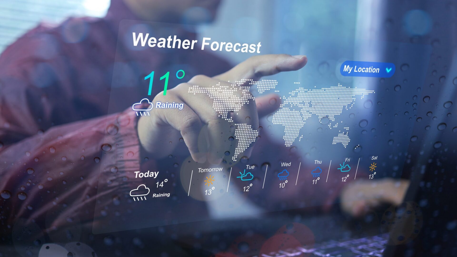
Meteorologist Max Schuster is sounding the alarm over a powerful and evolving weather pattern. In his latest forecast from Max Velocity Severe Weather Center, he described the system as a “chain reaction” of storms. Rather than a single event, multiple systems are expected to unfold back to back. Each phase brings a different set of risks depending on location.
Severe Weather Spreads Across Large U.S. Regions
The initial phase of the storm is already impacting a broad area. The threat stretches from the Ohio Valley through the interior Northeast and down toward the Gulf Coast. Millions of people fall within the risk zone. This wide coverage increases the likelihood of significant disruptions across multiple states.
Damaging Winds Pose the Most Widespread Danger

Schuster emphasized that strong winds are the primary concern for many. Gusts between 60 and 70 miles per hour could affect cities like Pittsburgh, Columbus, Cincinnati, and Washington, D.C.. In southern areas, winds could exceed 75 miles per hour. These conditions can knock down trees, damage roofs, and create dangerous flying debris.
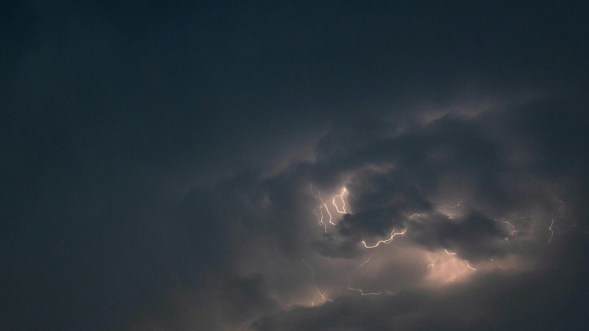
Tornado Risk Depends on Storm Development Patterns

Tornadoes remain a serious concern, though their intensity depends on how storms organize. If isolated supercells form, stronger tornadoes could develop. Otherwise, tornadoes may be embedded within lines of thunderstorms. Either scenario presents a risk across parts of the Midwest and the South.
Unusual Moisture Levels Fuel Storm Intensity

One of the most striking aspects of the forecast is the level of moisture in the atmosphere. Schuster noted unusually high dew points reaching into the low 60s in northern areas like New York. This level of moisture is uncommon for early March. Such conditions can significantly enhance storm strength.
Storm Threat Evolves Through Afternoon and Evening

The timing of the storm adds to its complexity. Morning storms are expected to be less severe, but conditions could intensify by afternoon. Areas such as West Virginia and southern Ohio may see stronger storms develop later in the day. By evening, some regions could face peak severe weather conditions.
Nighttime Storms Increase Danger and Uncertainty
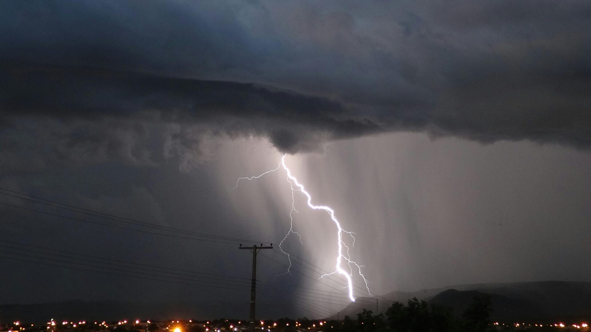
Schuster warned that some of the most dangerous weather could occur after sunset. Nighttime tornadoes and storms are especially hazardous because visibility is limited. People may not receive warnings as quickly while asleep. This increases the risk for communities in affected areas.
Winter Storm Threat Emerges After Severe Weather
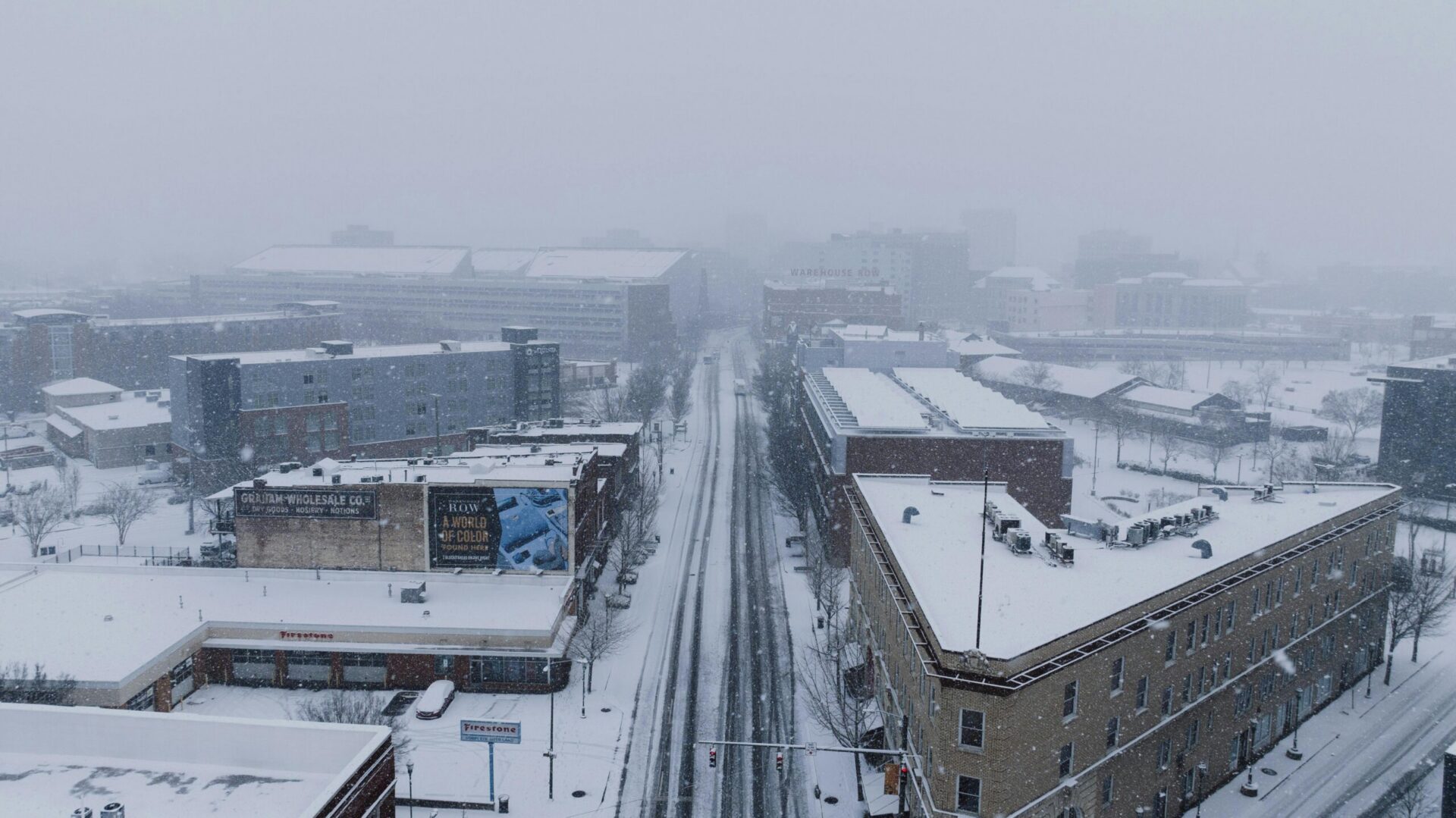
As the storm system moves forward, conditions are expected to shift dramatically. Snow could begin falling in parts of Michigan and Wisconsin before spreading into the Northeast. A larger winter storm may develop by Sunday into Monday. This shift highlights the dramatic nature of the evolving pattern.
Arctic Air Blast Could Bring Sudden Temperature Drop

Behind the storm system, a surge of Arctic air is expected to move southward. Temperatures could plunge rapidly across much of the country. Areas that recently experienced mild conditions may see wind chills drop into the teens or even single digits. This sharp transition could catch many people off guard.
Multi Day Weather Pattern Keeps Conditions Unstable

What makes this forecast especially concerning is its duration and intensity. Instead of one isolated storm, the atmosphere is producing a sequence of events. Severe storms, snow, and extreme cold are all expected within a short time frame. According to Max Schuster, the pattern still has more energy to release before it finally settles down.